-
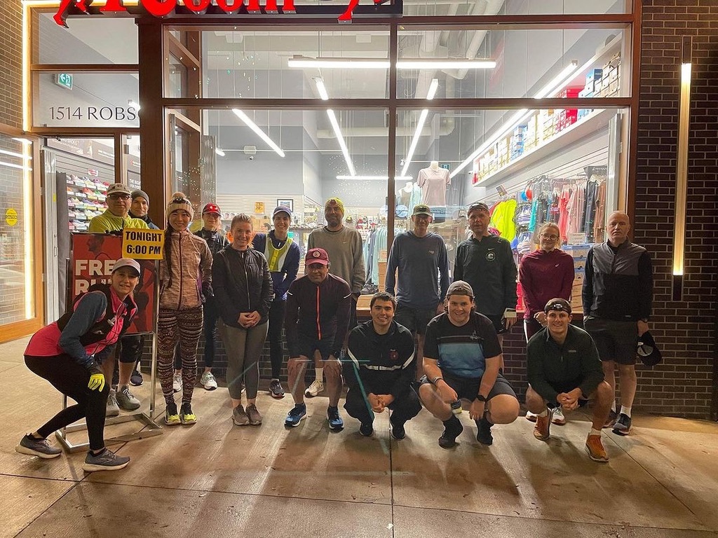
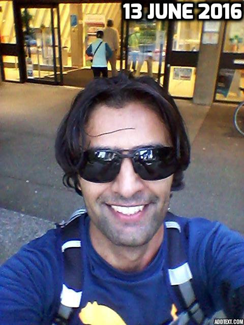
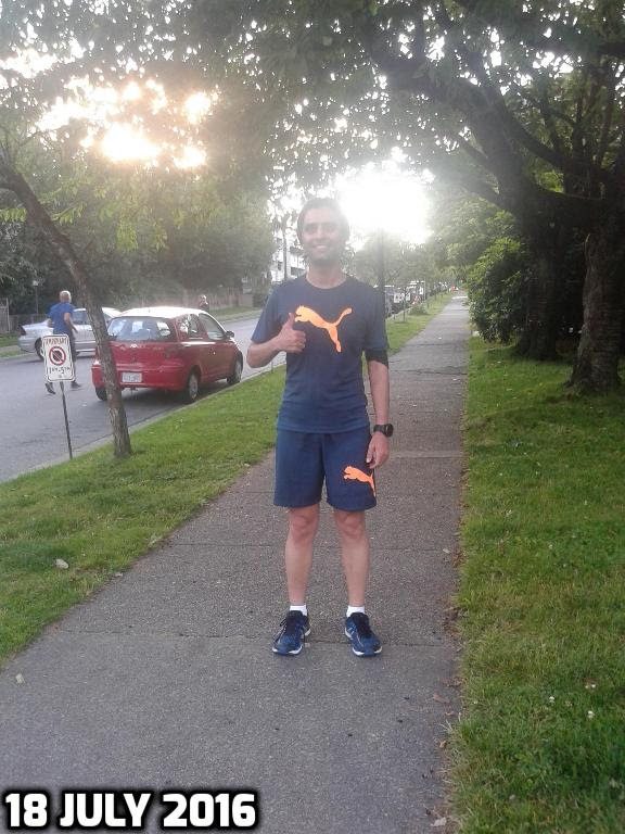
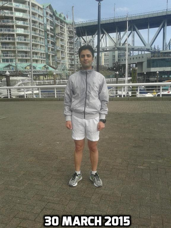
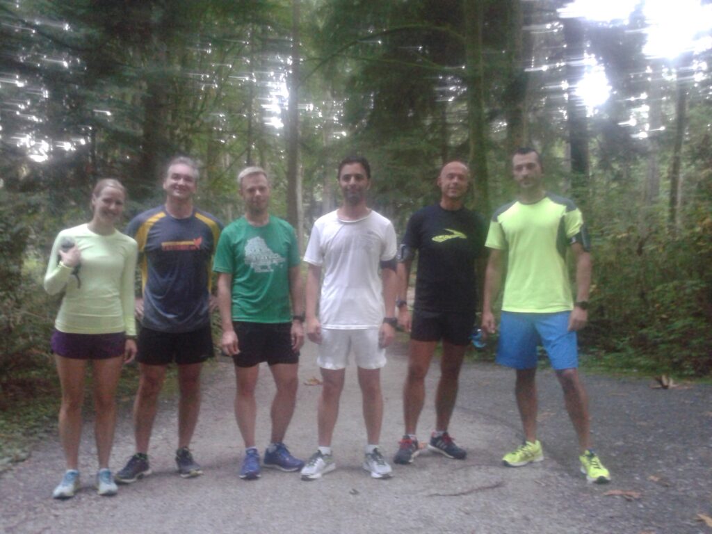
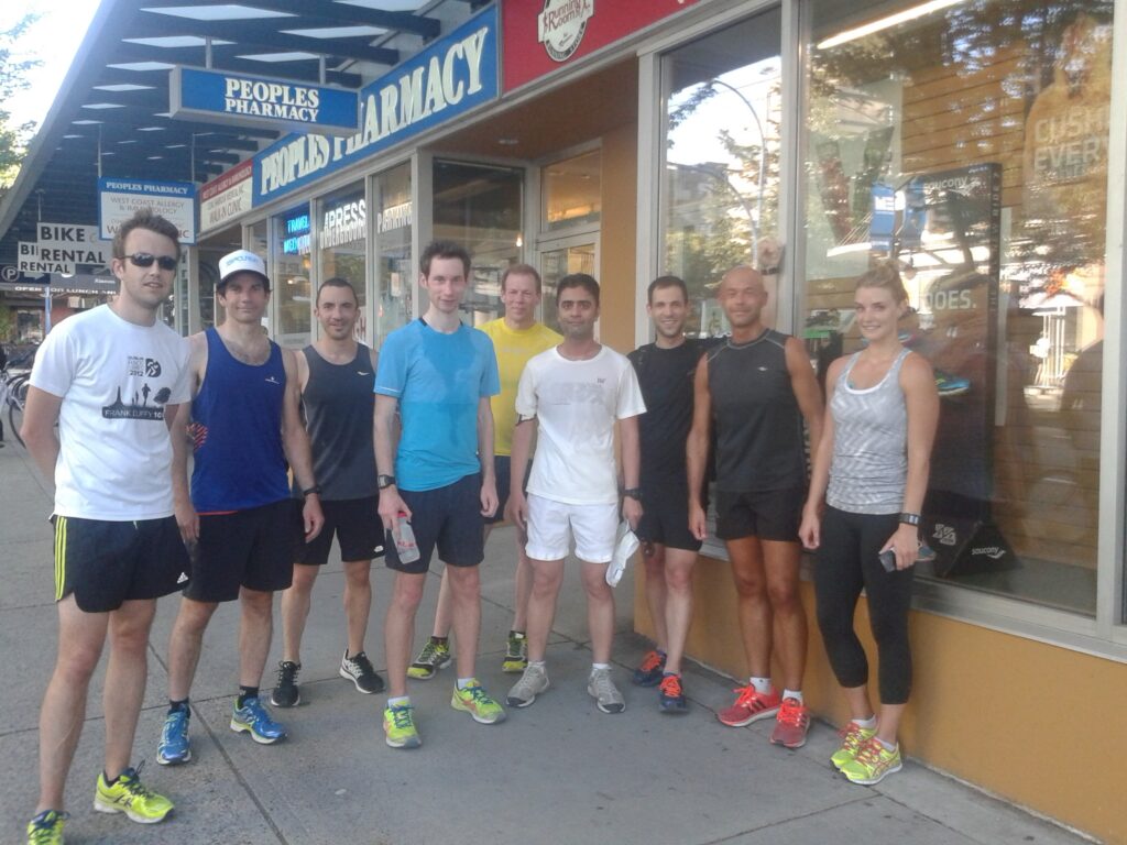
Running Room Robson Street
-
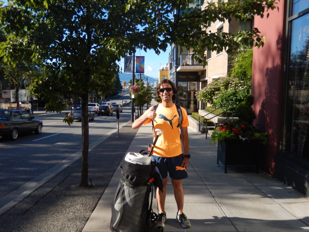
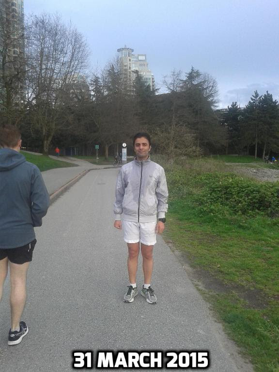
Running Room Robson Street
-
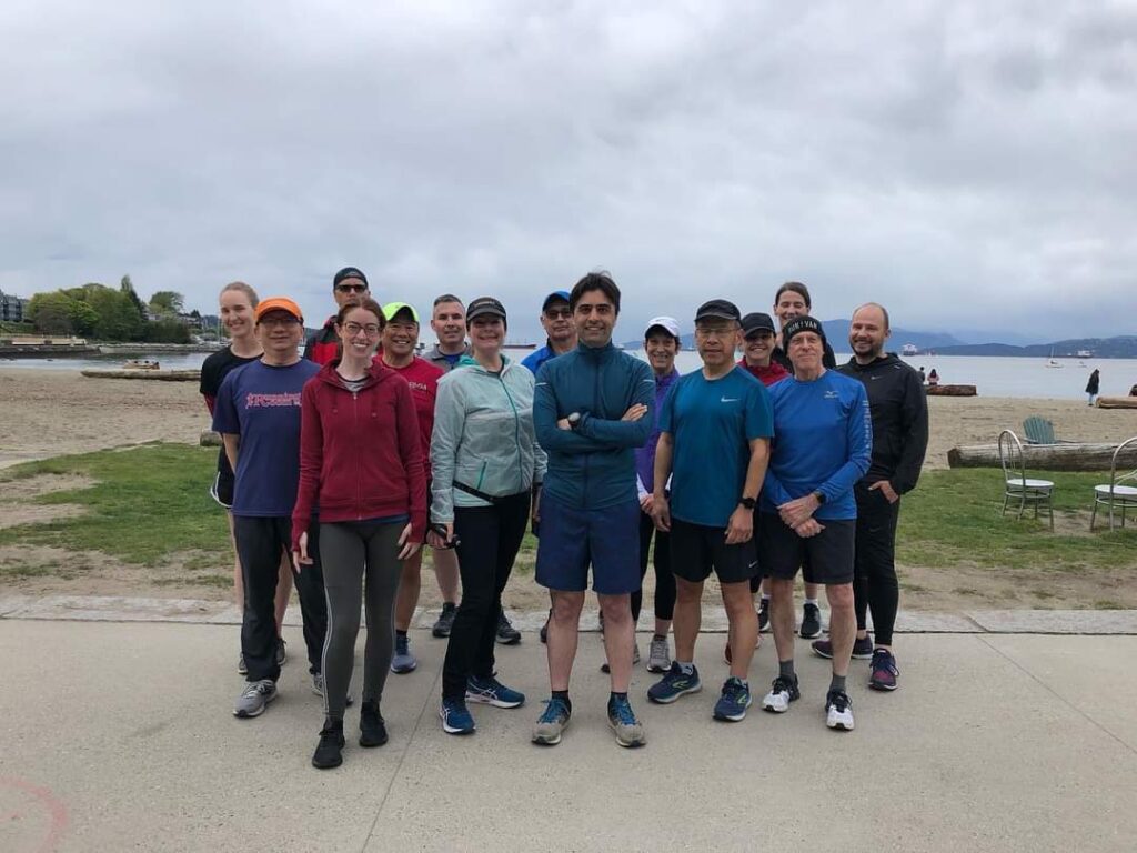
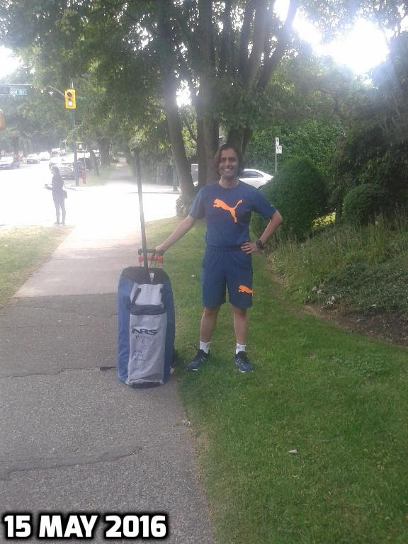
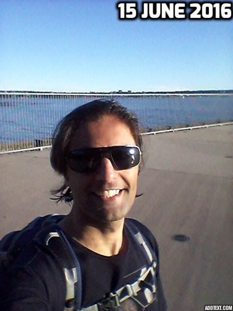
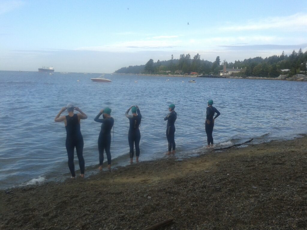
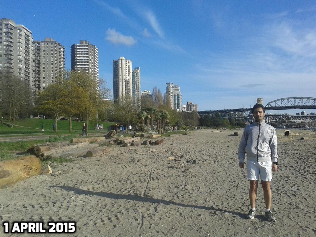
Running Room English Bay
-
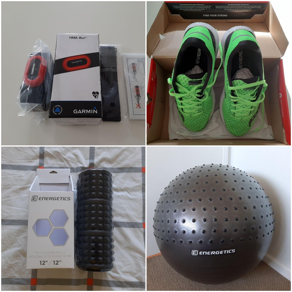
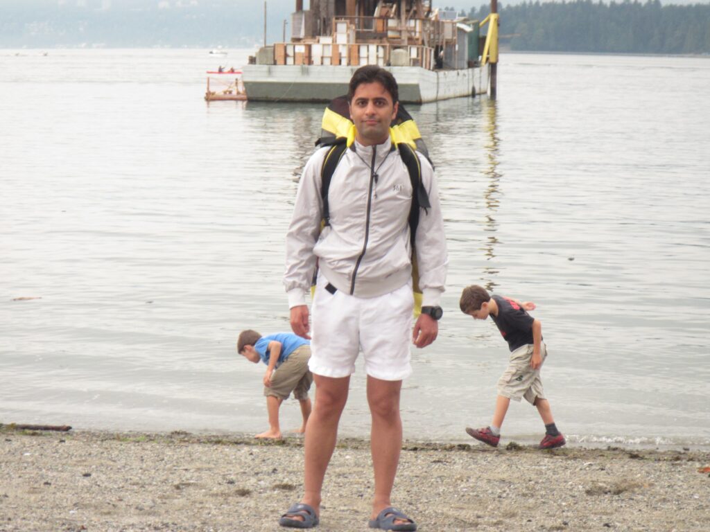
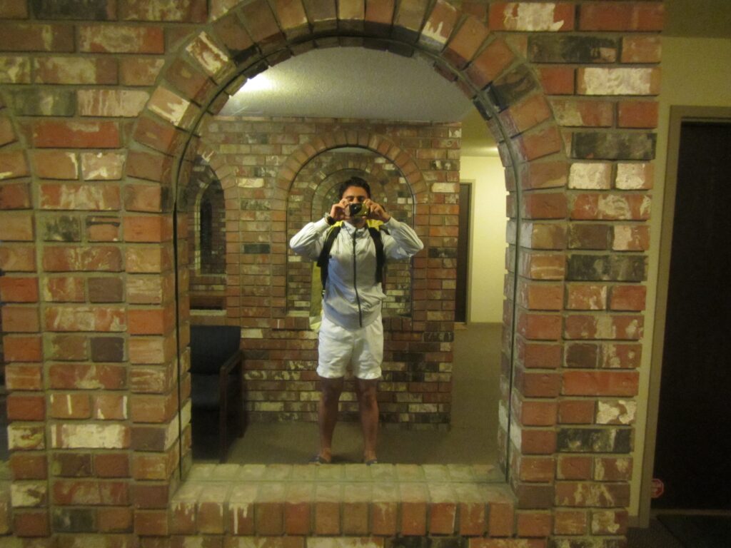
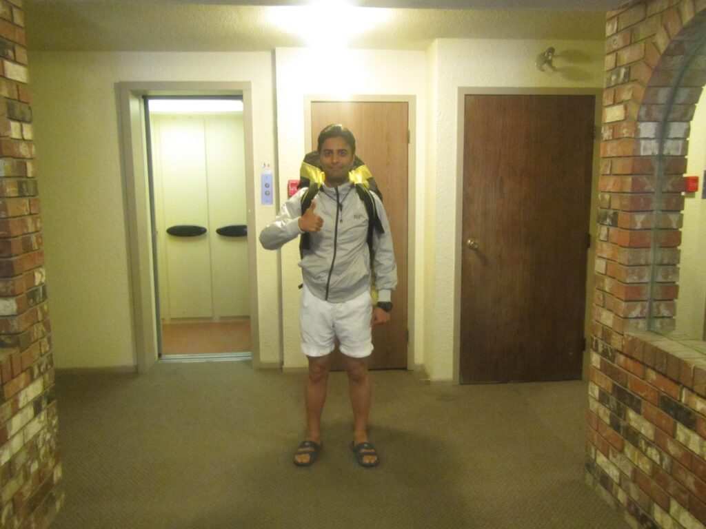
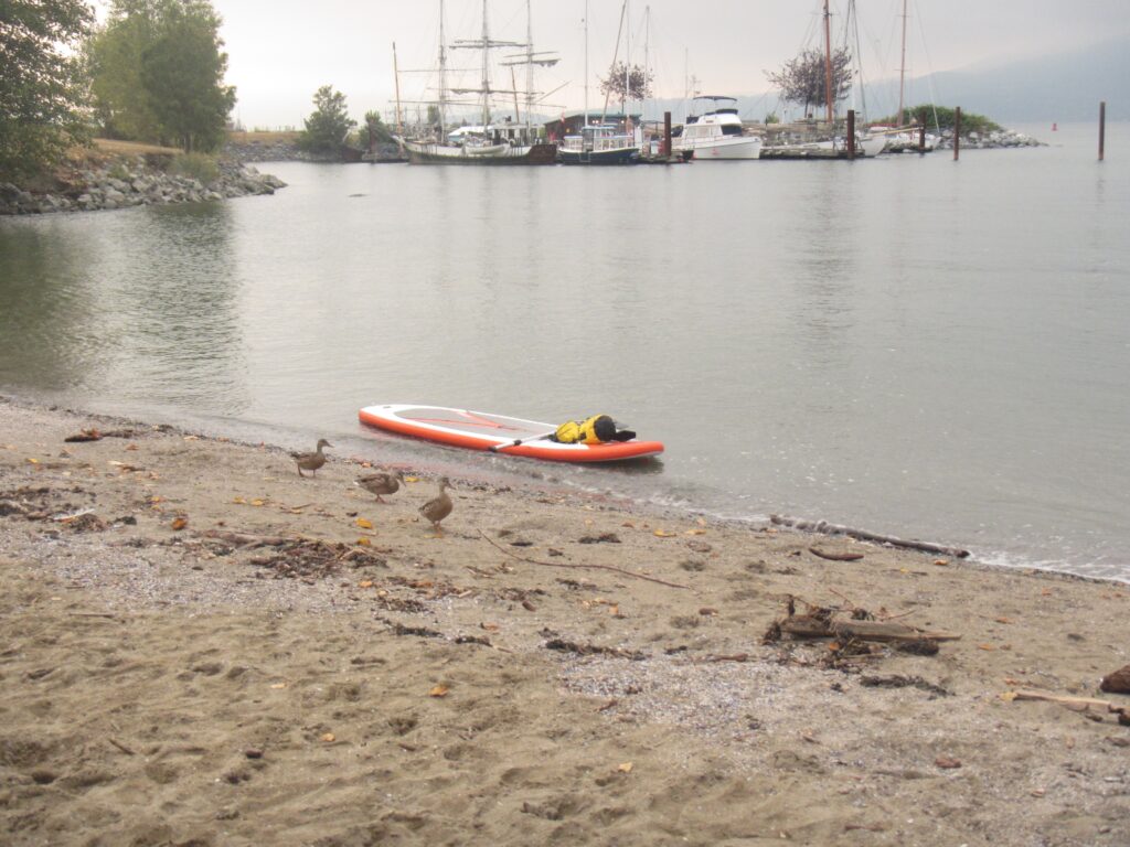
2020 Gear
-
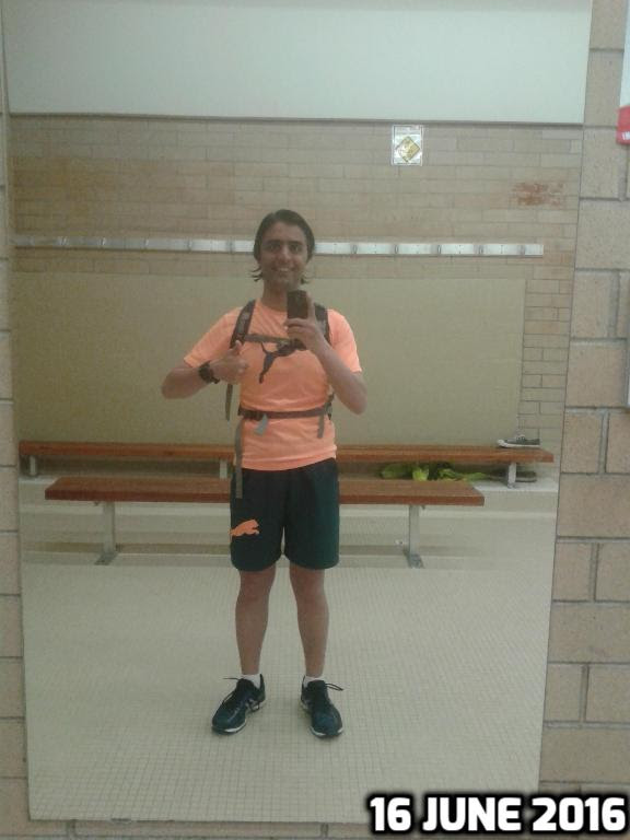
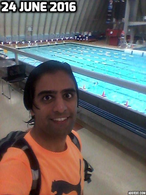
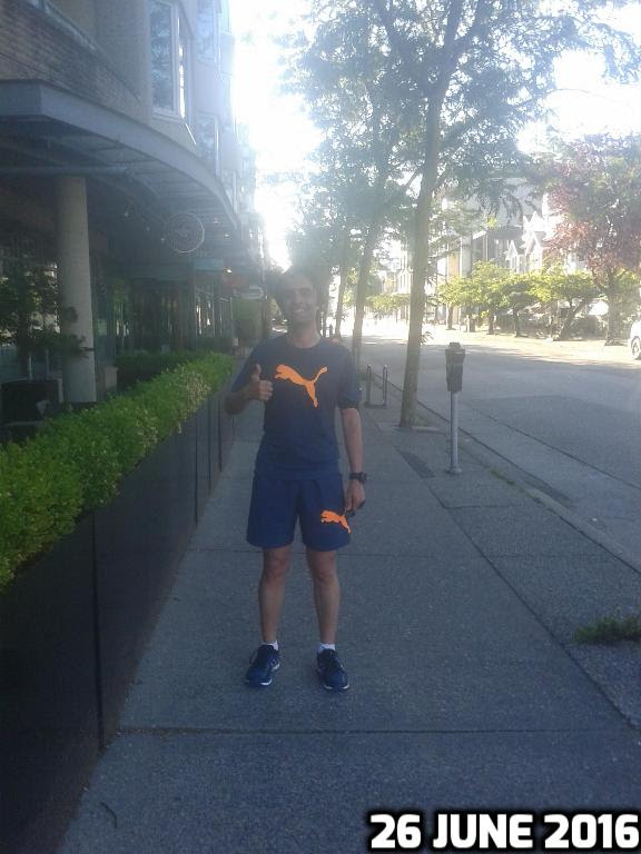
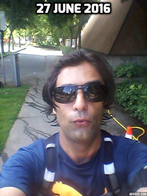
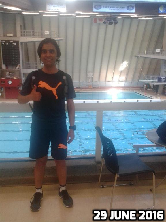
2016 Training Summary
-
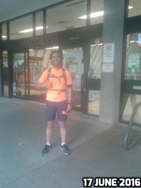
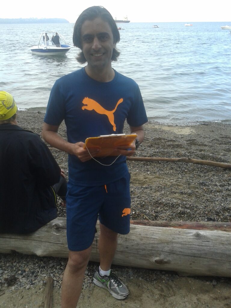
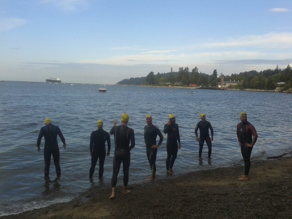
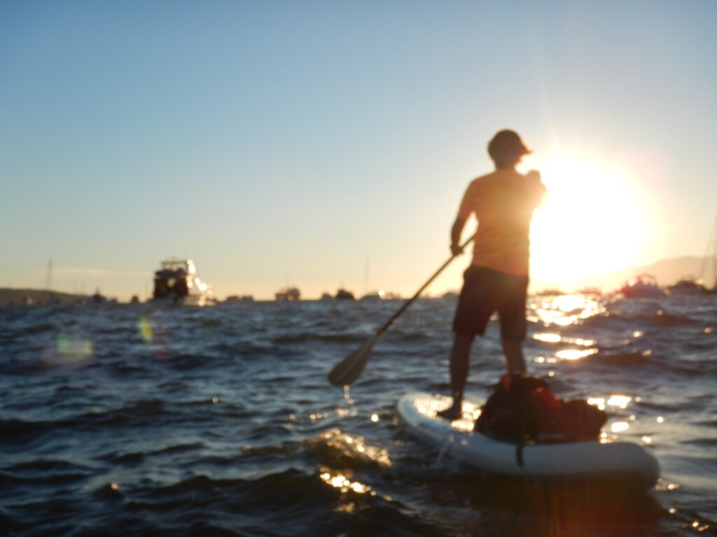
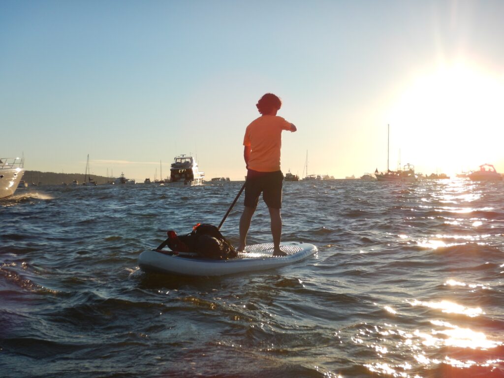
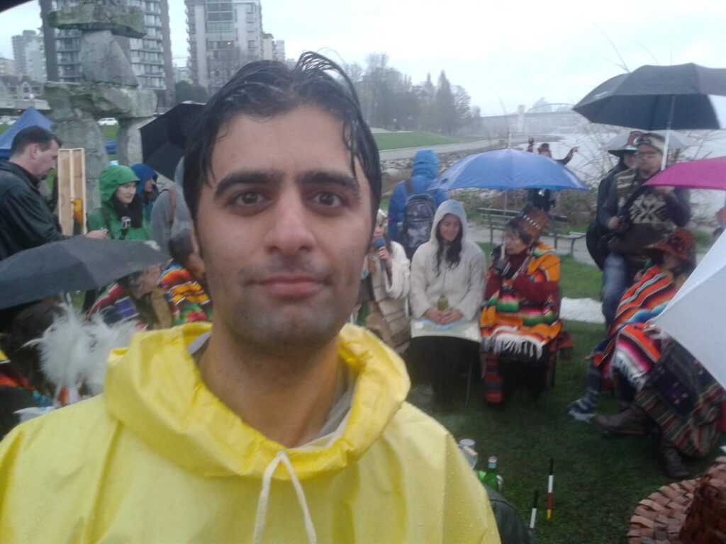
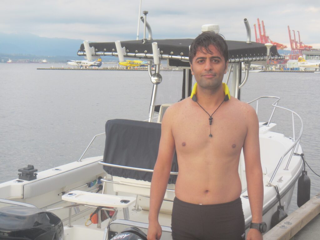
Bay Challenge
-
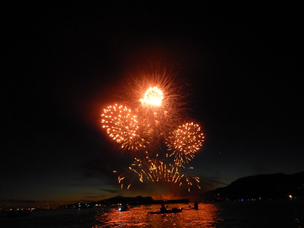
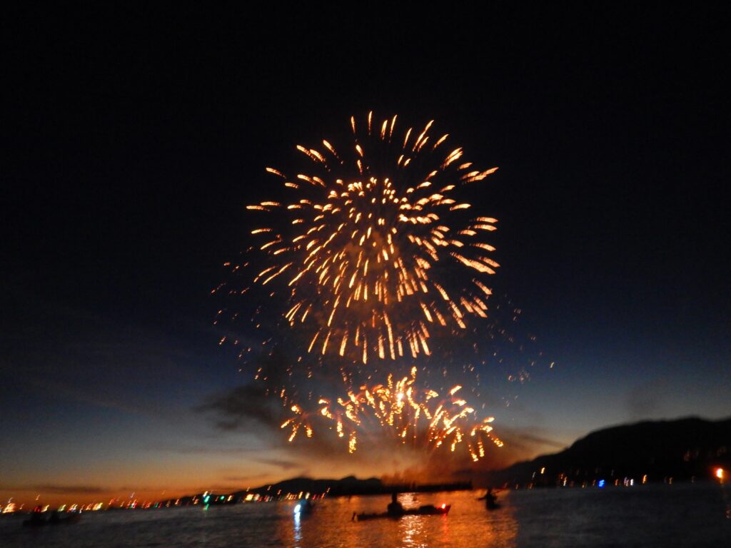
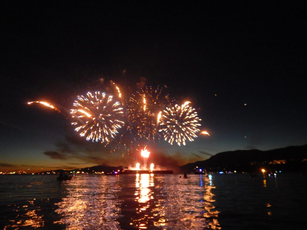
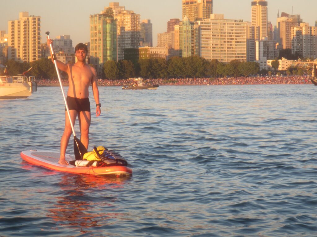
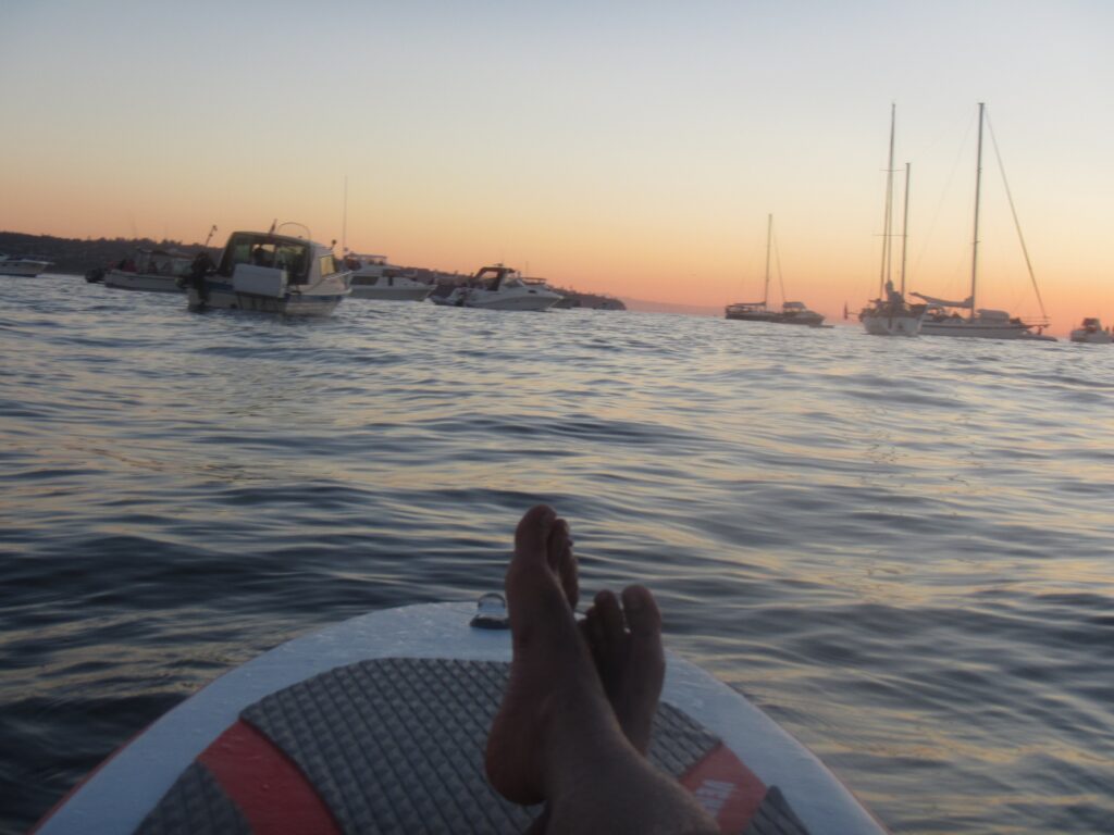
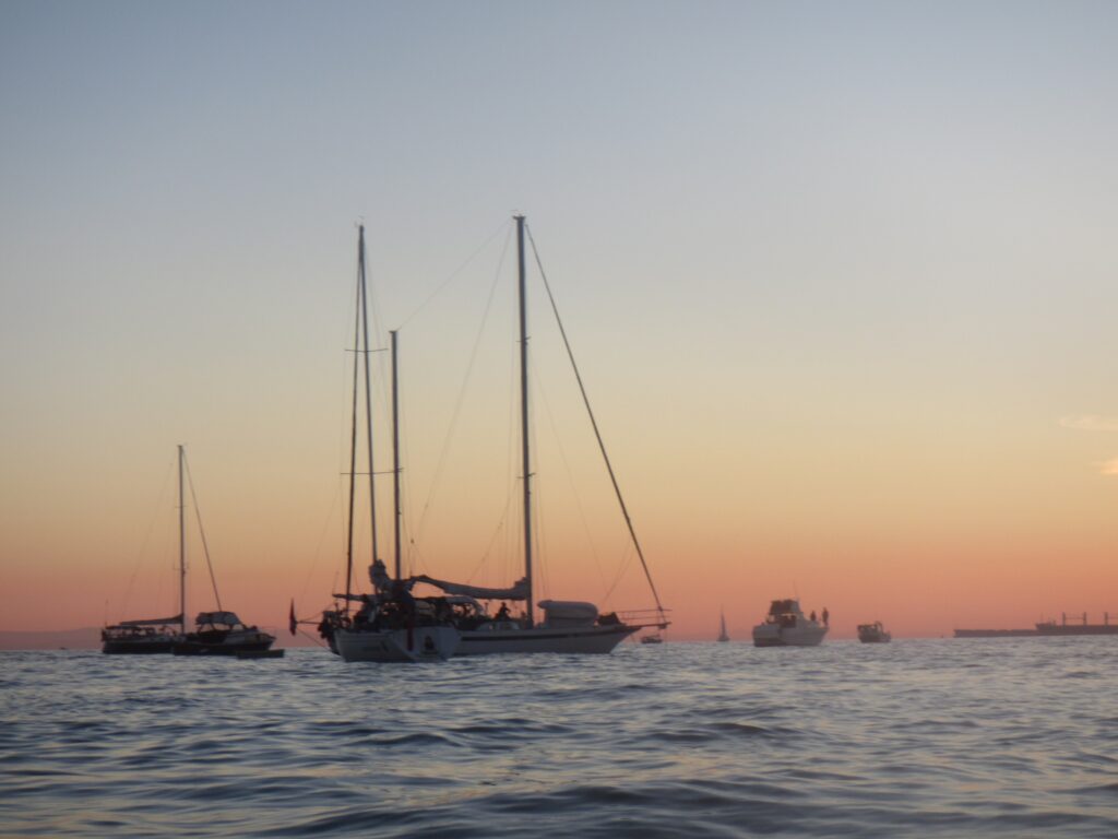
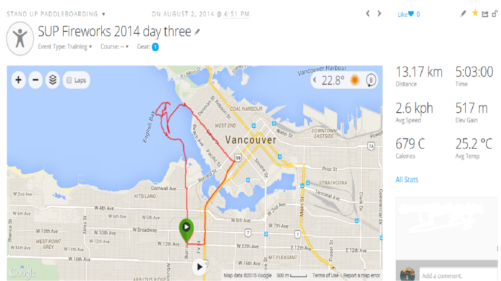
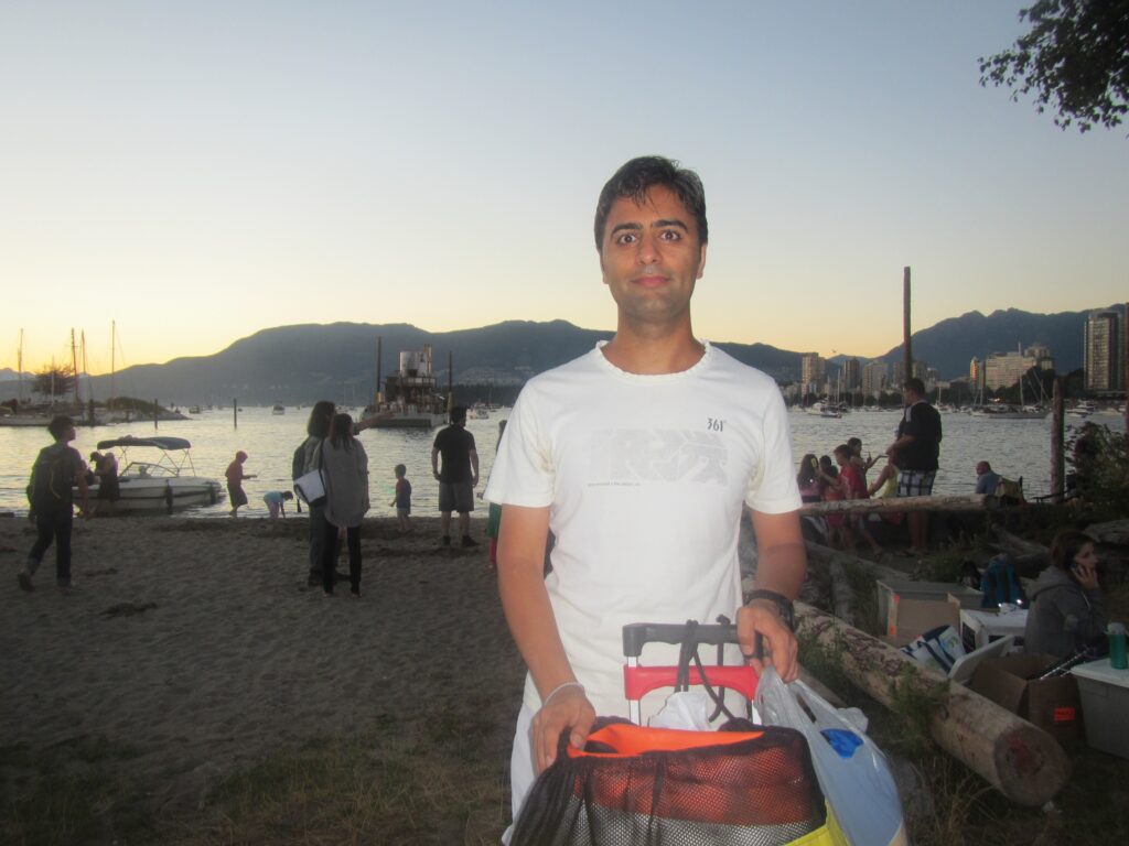
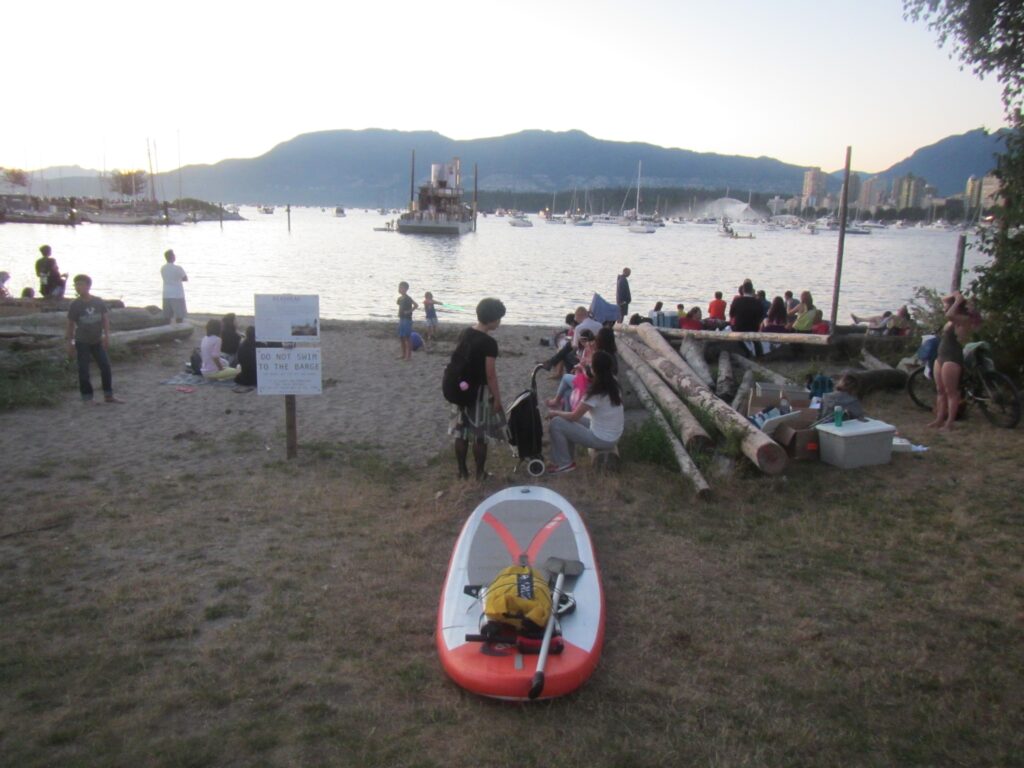
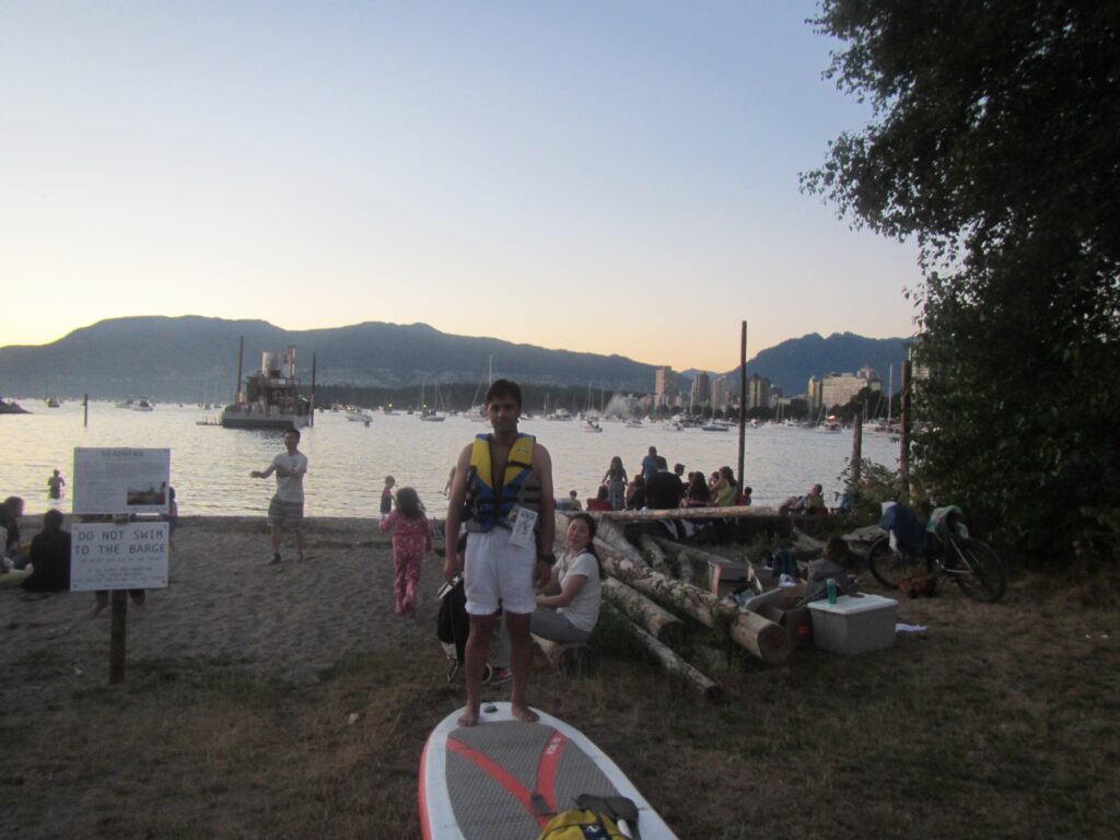
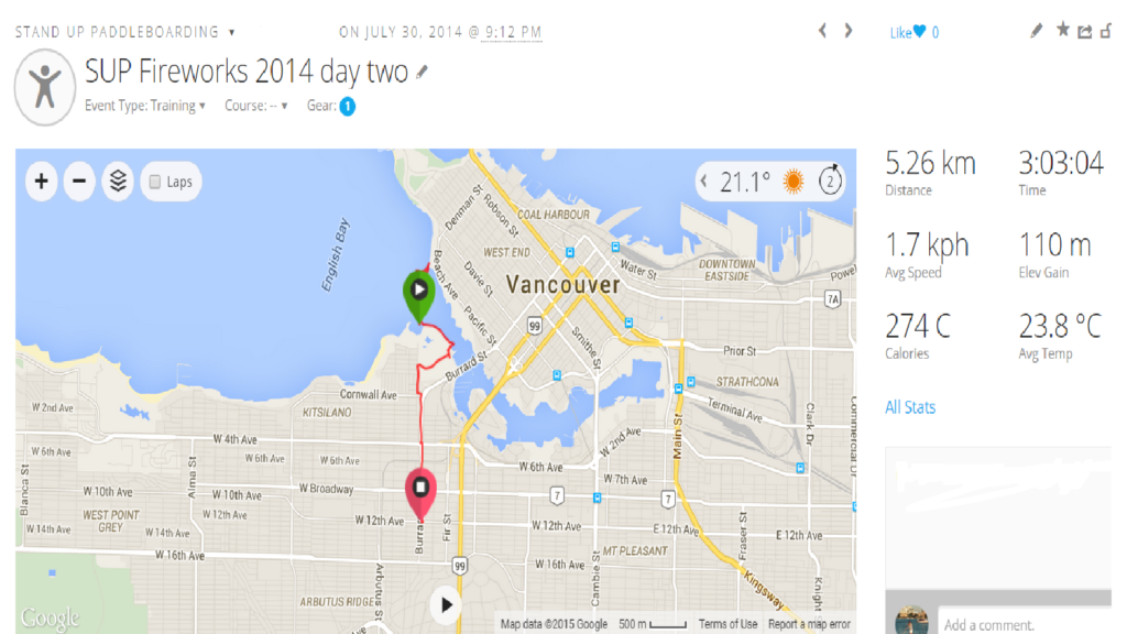
SUP Fireworks Second Night
-
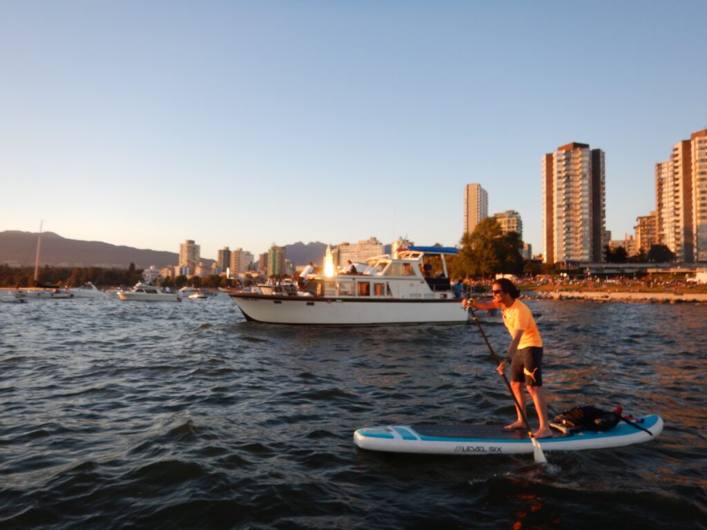
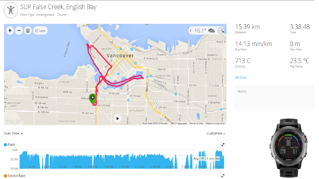
SUP False Creek
-
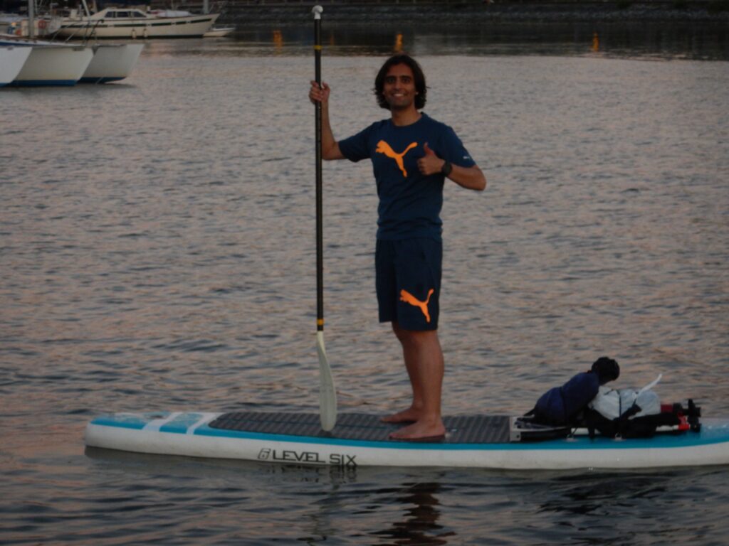
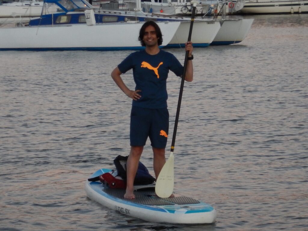
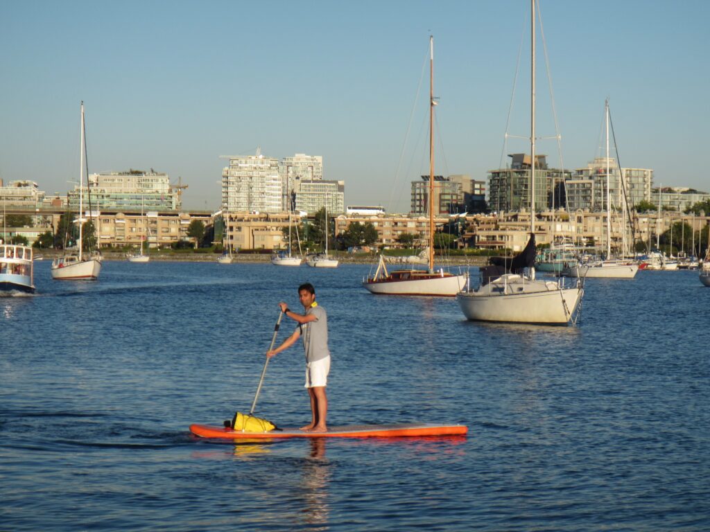
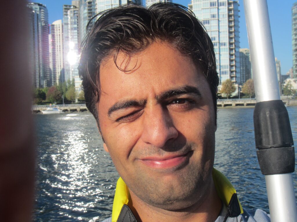
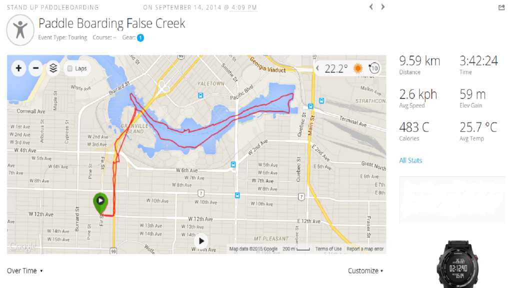
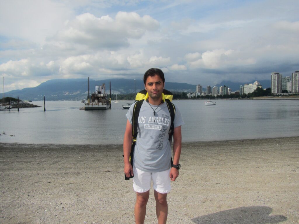
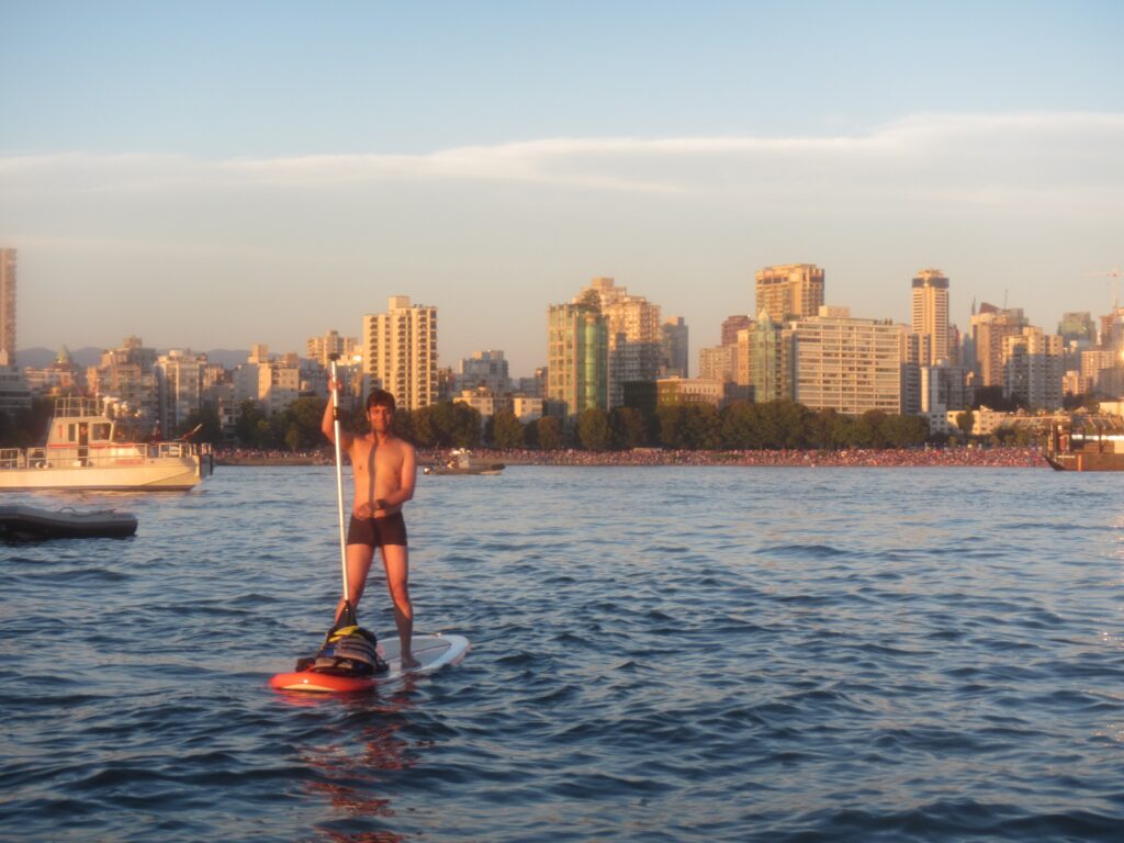
Paddle Boarding False Creek-English Bay
-
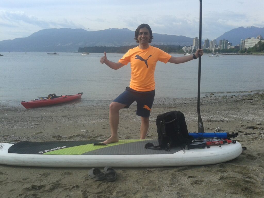
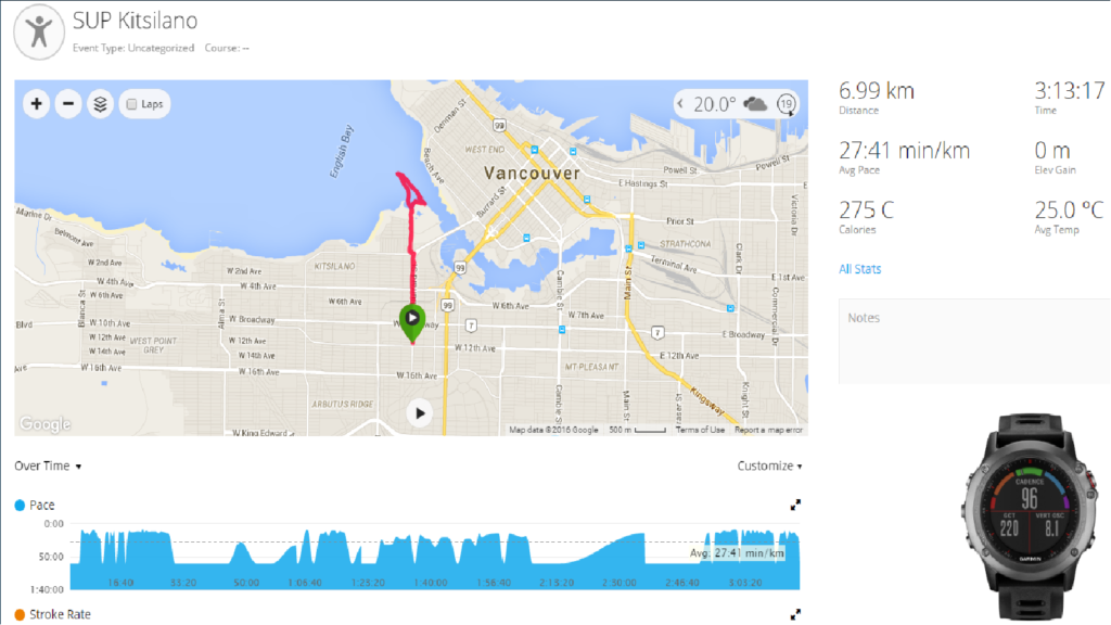
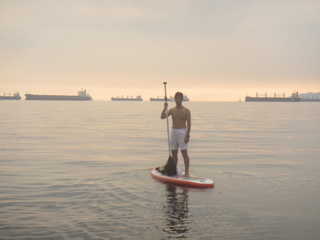
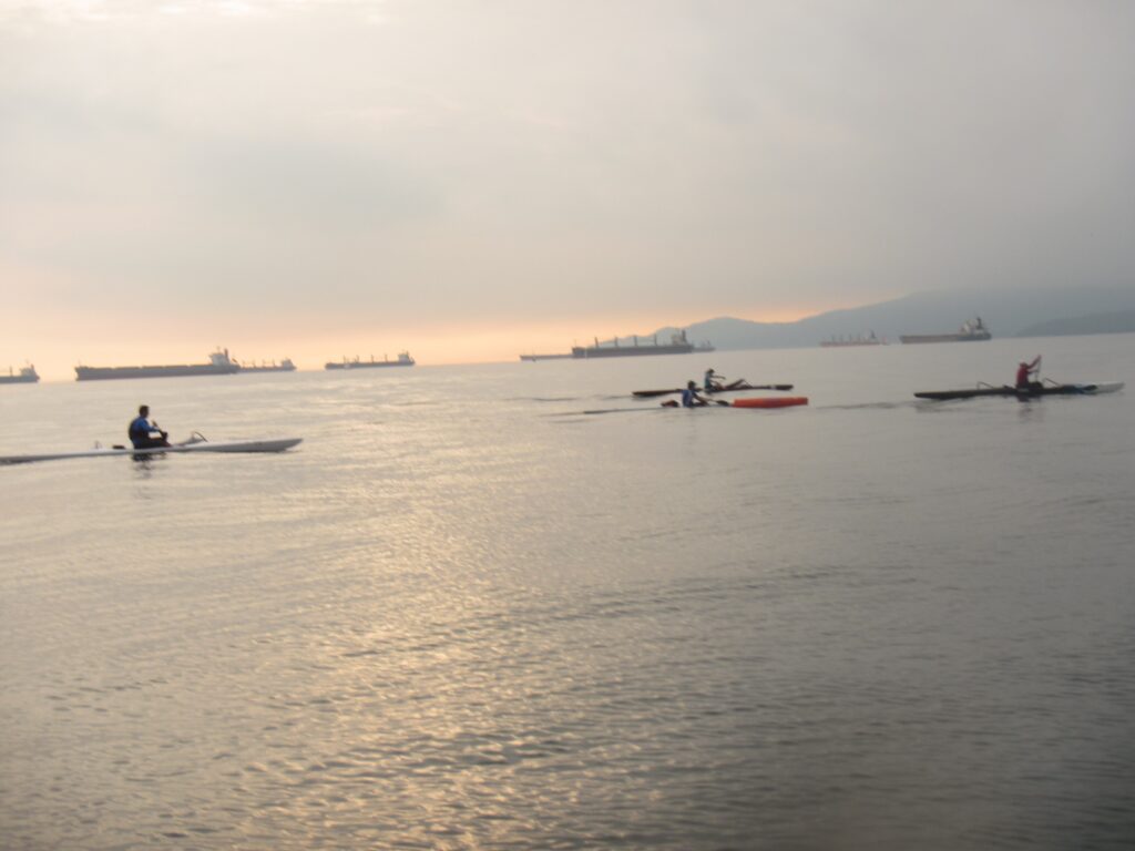
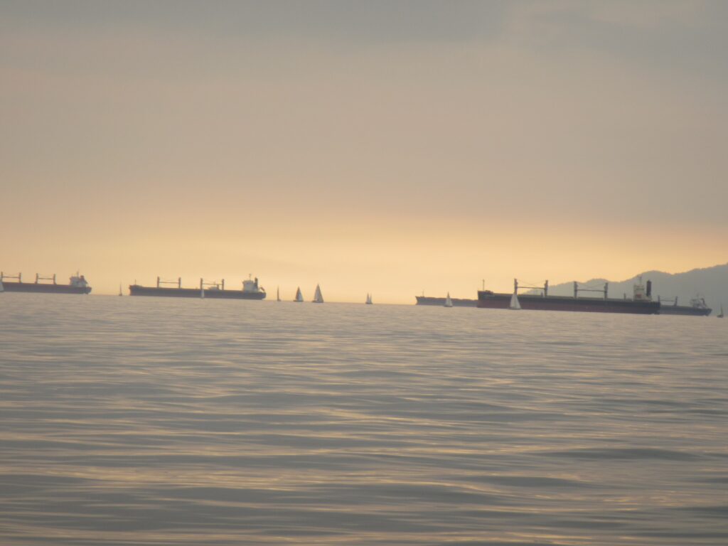
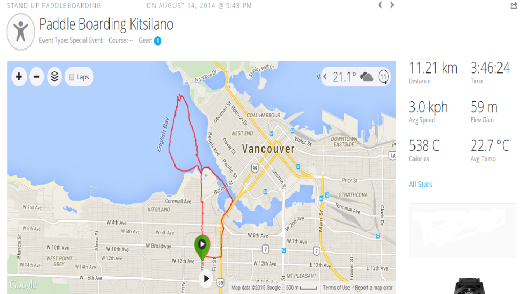
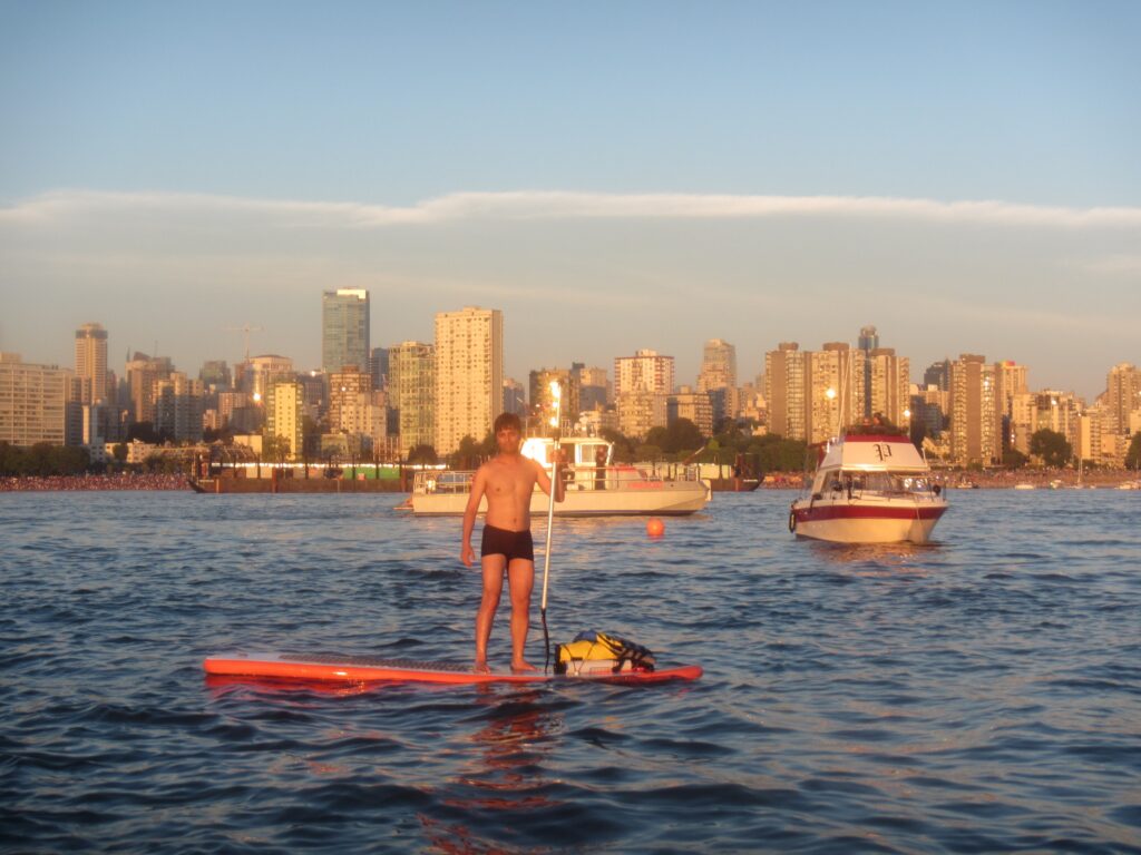
Paddle Boarding Kitsilano
-
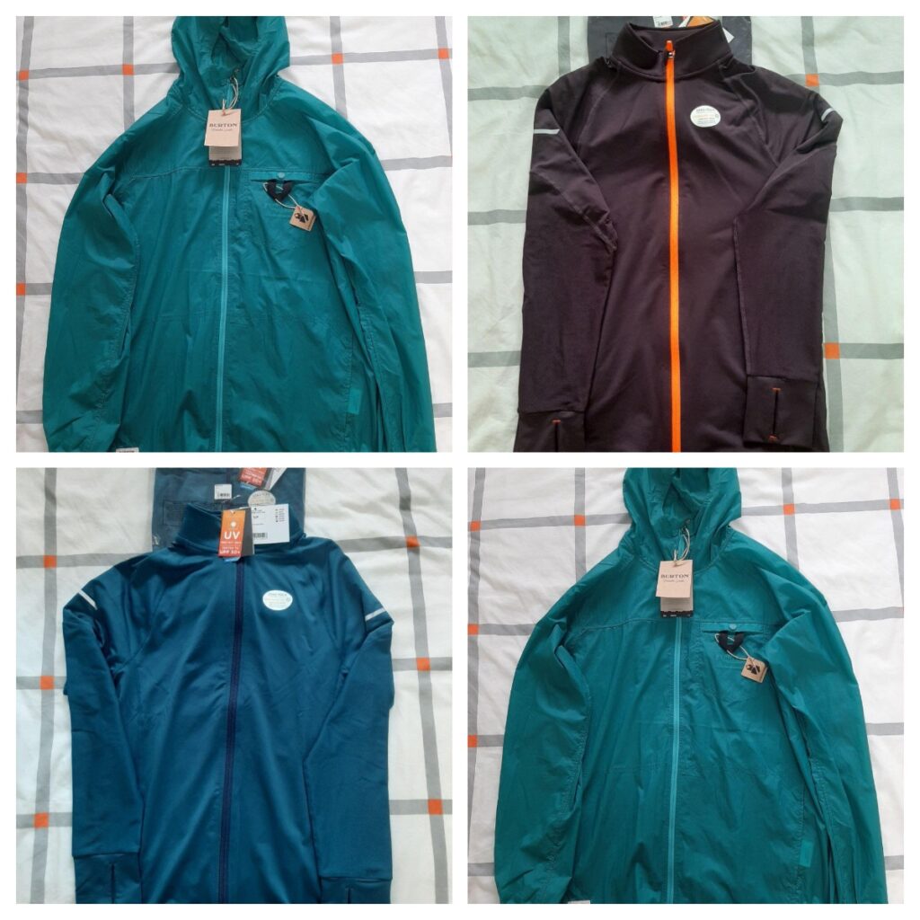
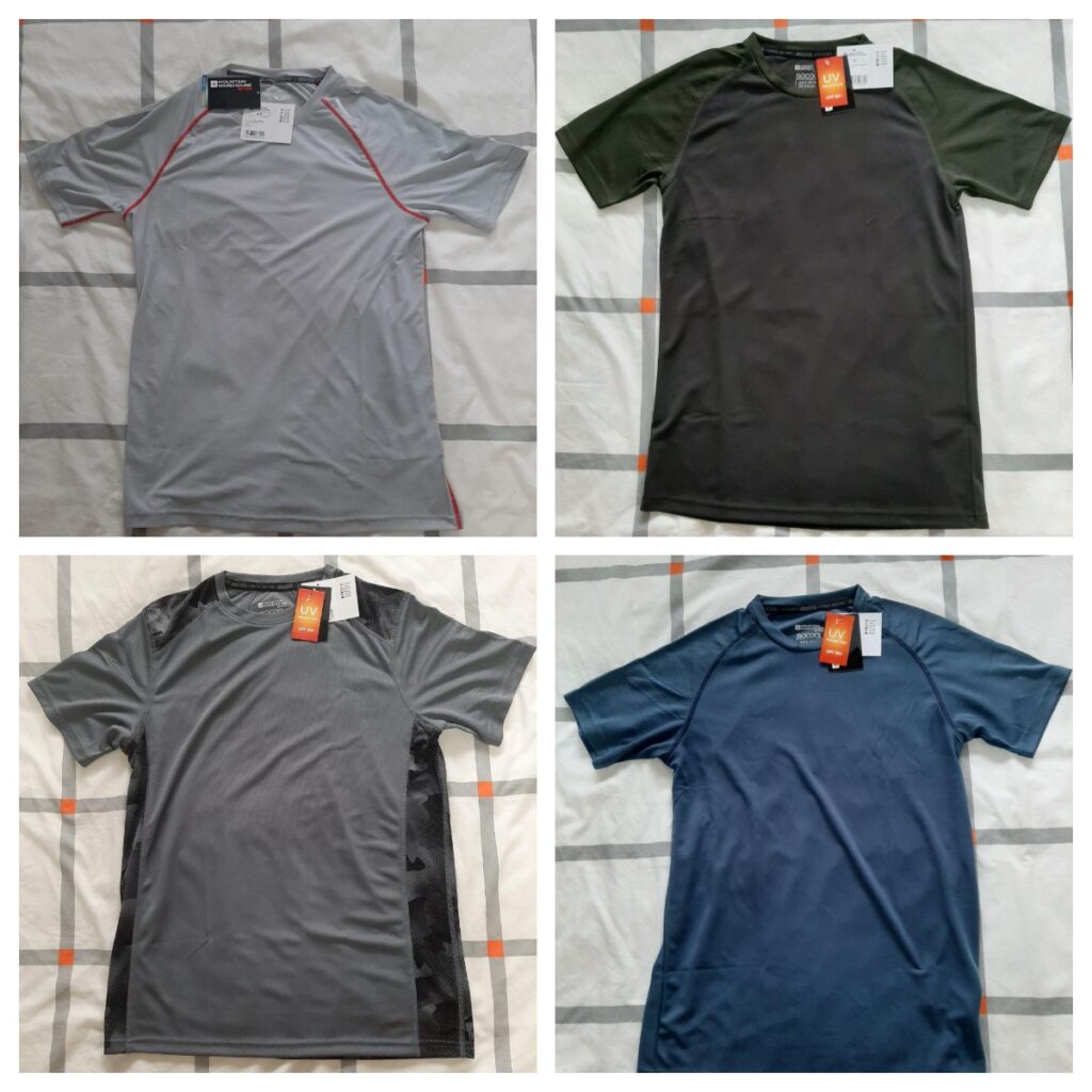
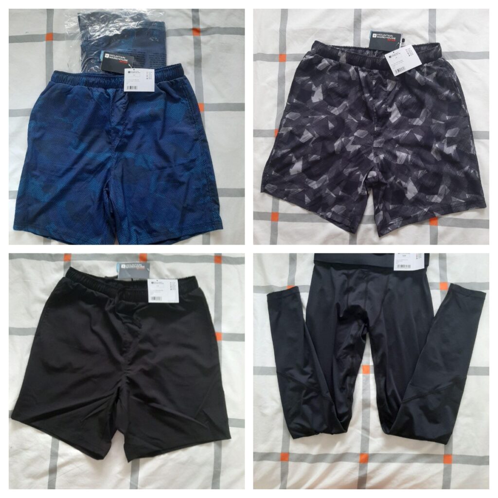
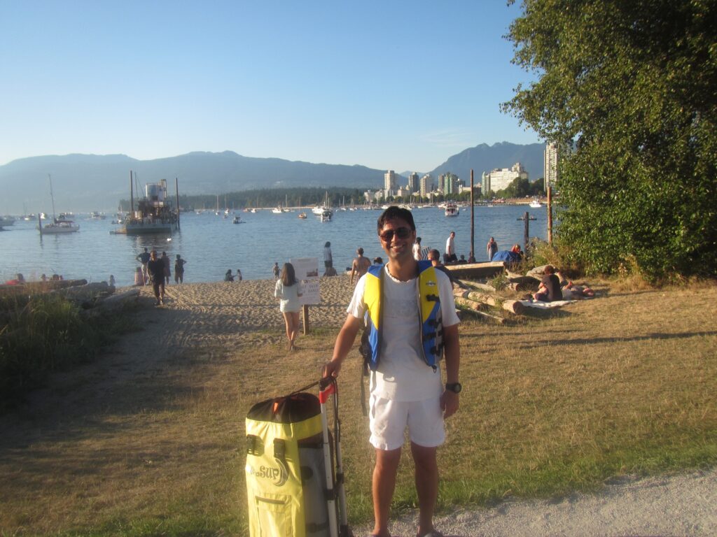
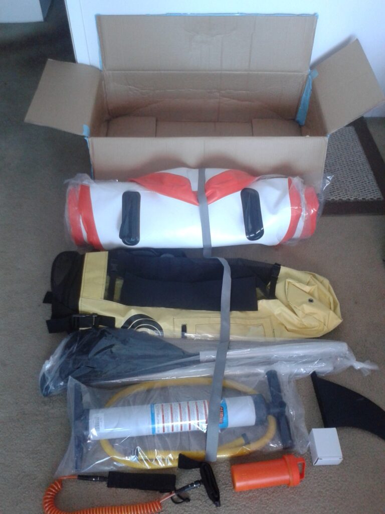
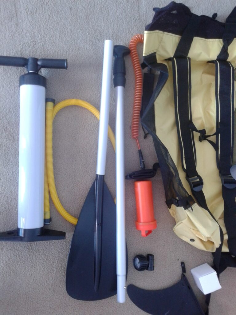
Summer 2016 Gear
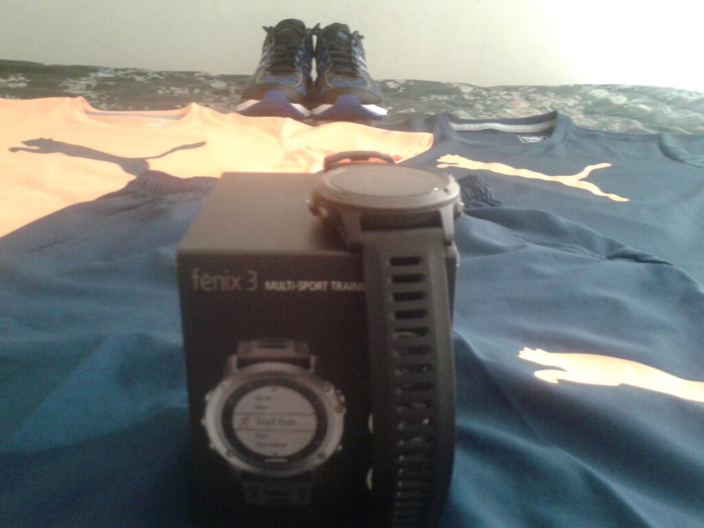
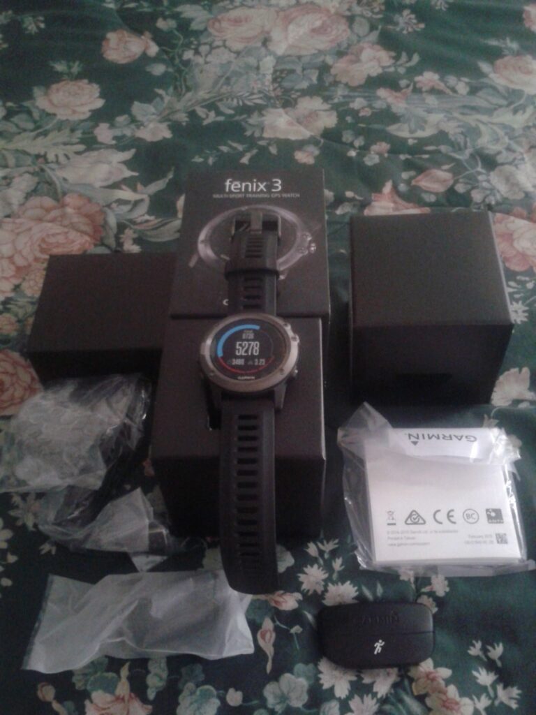
After 2 years of training with Fenix 2, it was the exact right time to upgrade it to Fenix 3. Love every second of training with it ;)))))
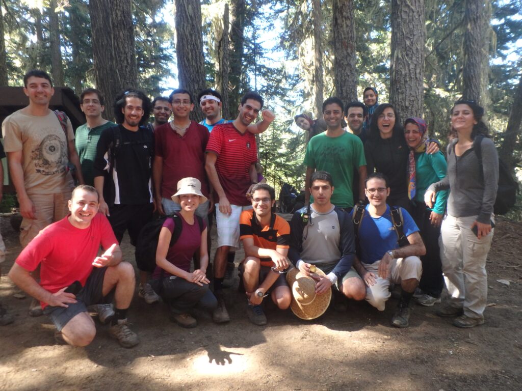
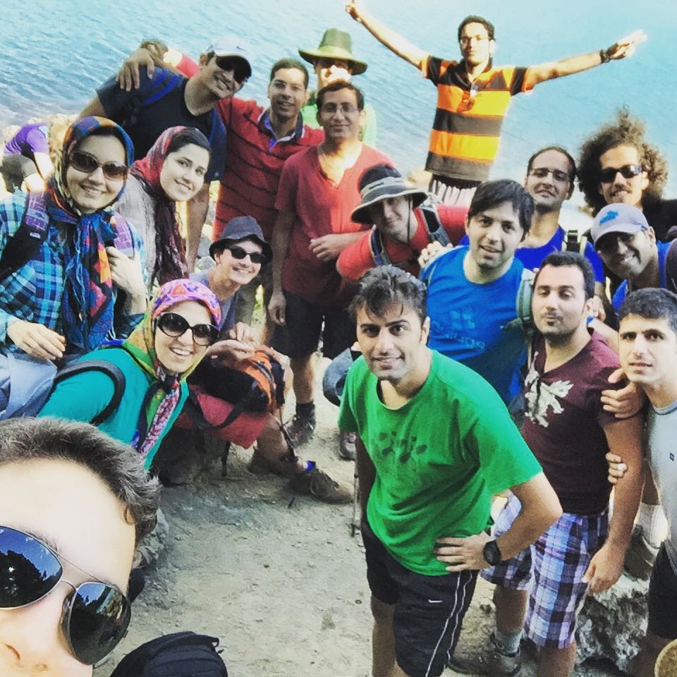
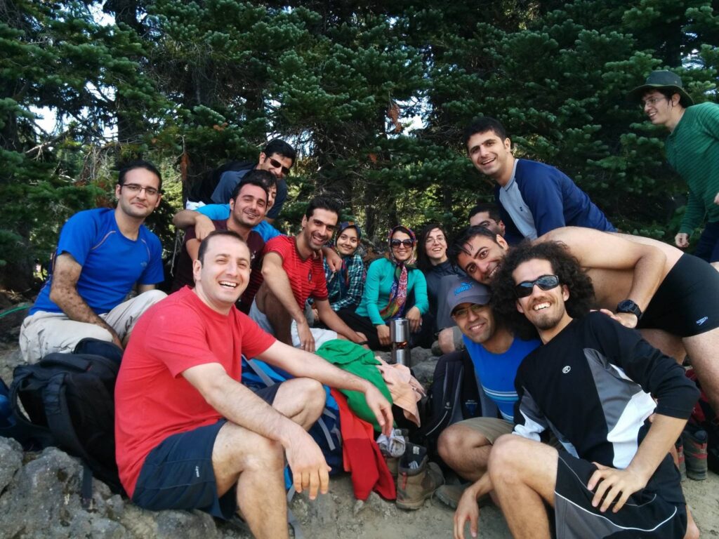
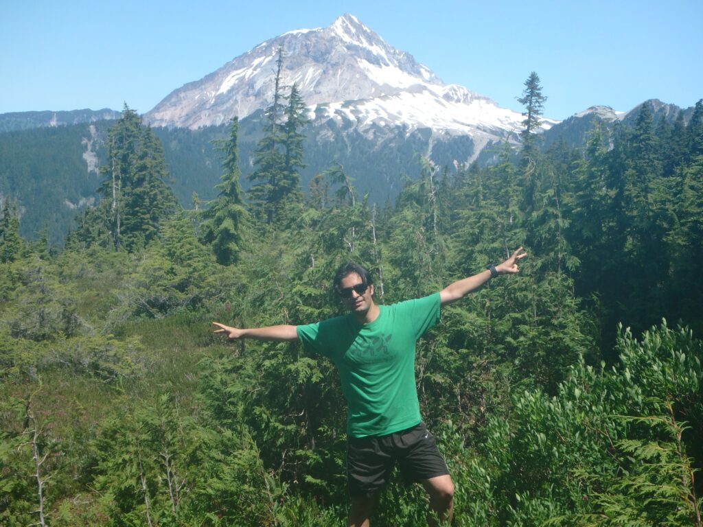
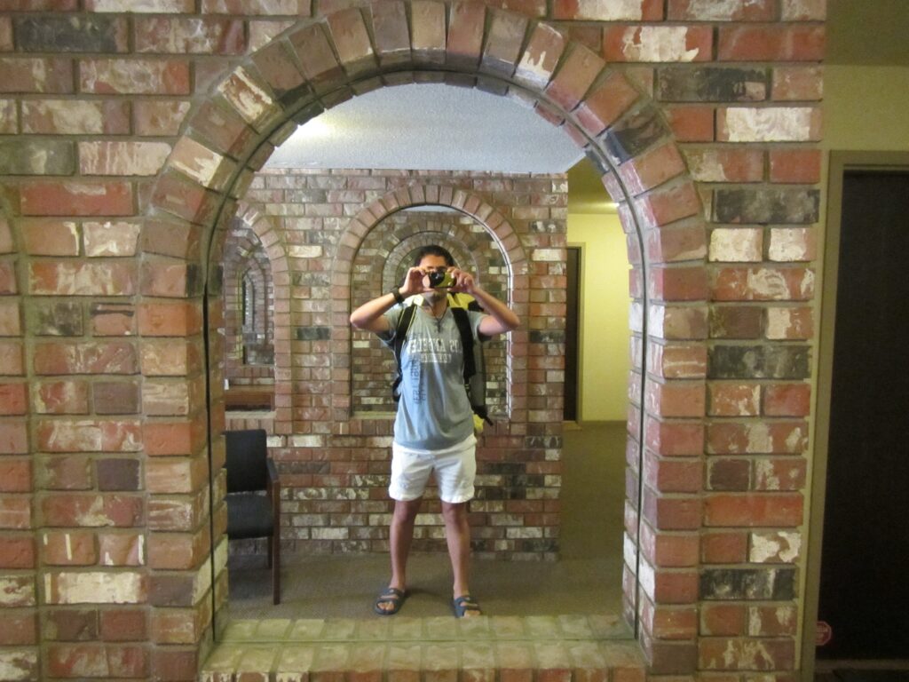
Photo Gallery
-
2015 Training Summary
-
Why it’s that hard for professionals to get back to their focus when they are being disturbed!

“Why it’s that hard for professionals to get back to their focus when they are being disturbed!” (Sep 28 2015)
Last Sunday, it was Berlin Marathon and the importance of that event is obvious for all who enthusiastically follow running news. In the past 12 years, marathon world record was improved just in Berlin Marathon, in particular in 2013 and 2014 it was improved to 2:03:23 and 2:02:57 respectively.
When I read the news of Berlin Marathon I noticed no new world record was exchanged this year. At the same time when I looked at the shoes of the winner of Berlin Marathon at the finish line, I was surprised maybe we have a new development in the running shoes but the story totally different.
“Eliud Kipchoge won the Berlin Marathon on Sunday in 2:04, but the insoles falling out of both of his shoes for most of the race stole the headlines” wrote runner’s world about the event (http://t.co/6WjR2GQ2QX) “There are blisters on the left foot and my big toe is cut, with lots of blood,” Kipchoge said, after the race. I was thinking what was the reason he didn’t take out the insoles in the middle of the race, it wouldn’t take him more than a few seconds and instead he won’t be bothered for the rest of the race. Jos Hermens, Kipchoge’s agent said “He didn’t take the insoles out when they started causing problems because he didn’t want to disturb his rhythm and focus.”
Yes, and it’s all about the focus and keeping your rhythmic. For all the professionals, Keeping focus is the most important thing in their career, and it’s extremely hard to get back to your focus when you are being disturbed. It’s as hard as Kipchoge prefered to run more than half of the run in that situation rather than taking a few seconds and took the insoles out of his shoes.

-
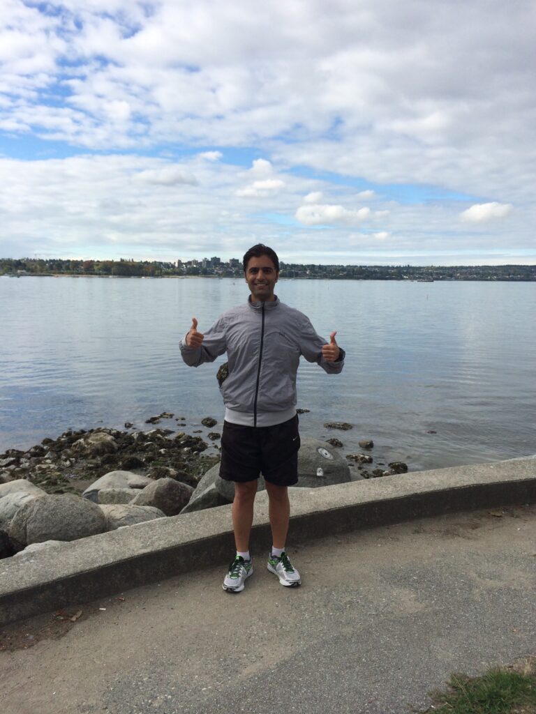
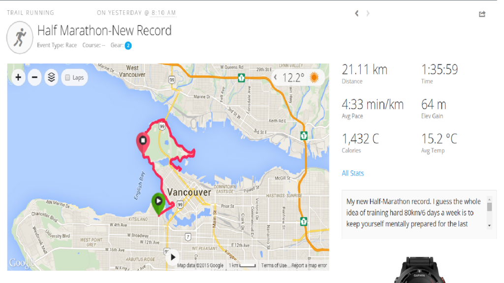
New Half Marathon Record
New Half Marathon Record 1:35:59
Photo Gallery
My Run on Map
I guess the whole idea of training hard 80km/6 days a week is to keep yourself mentally prepared for the last 5k/10k of the half/full marathon to keep running with your desired pace and not to give up,cause everyone knows the real race just starts at the last kilometers.
-
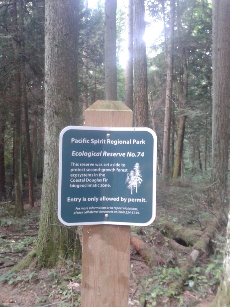
Pacific Spirit Regional Trail
-
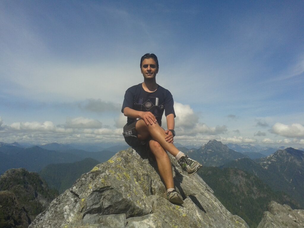
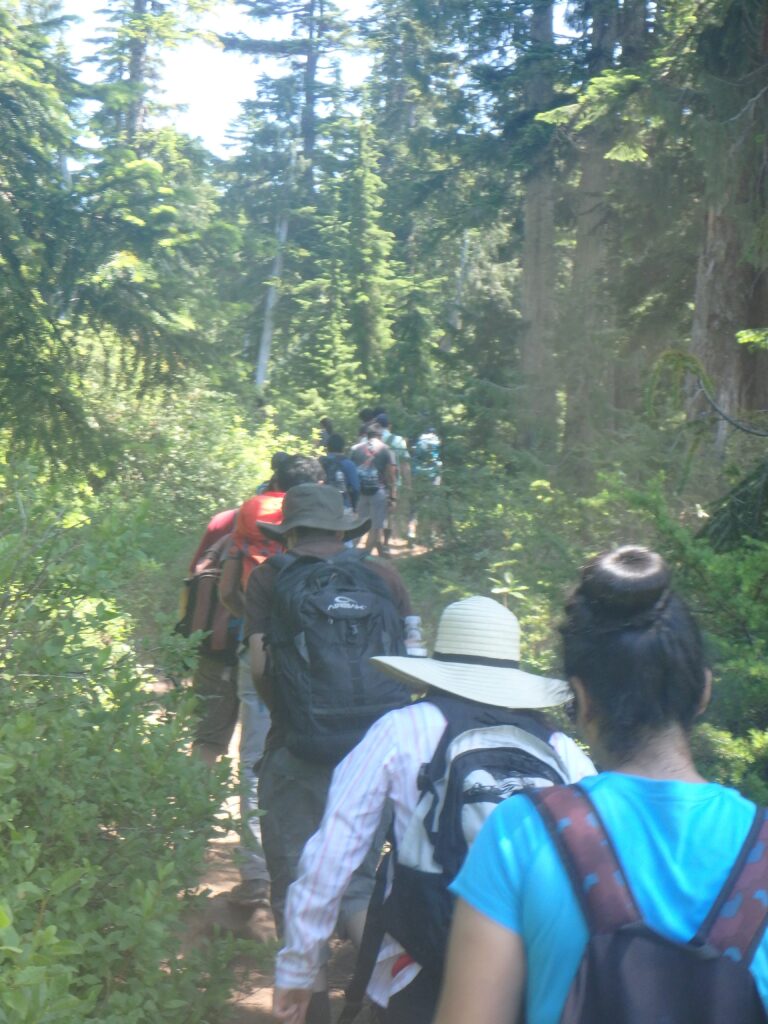
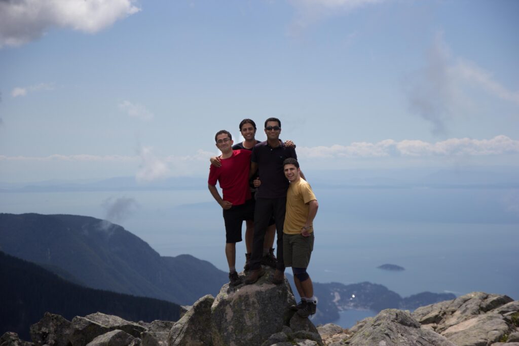
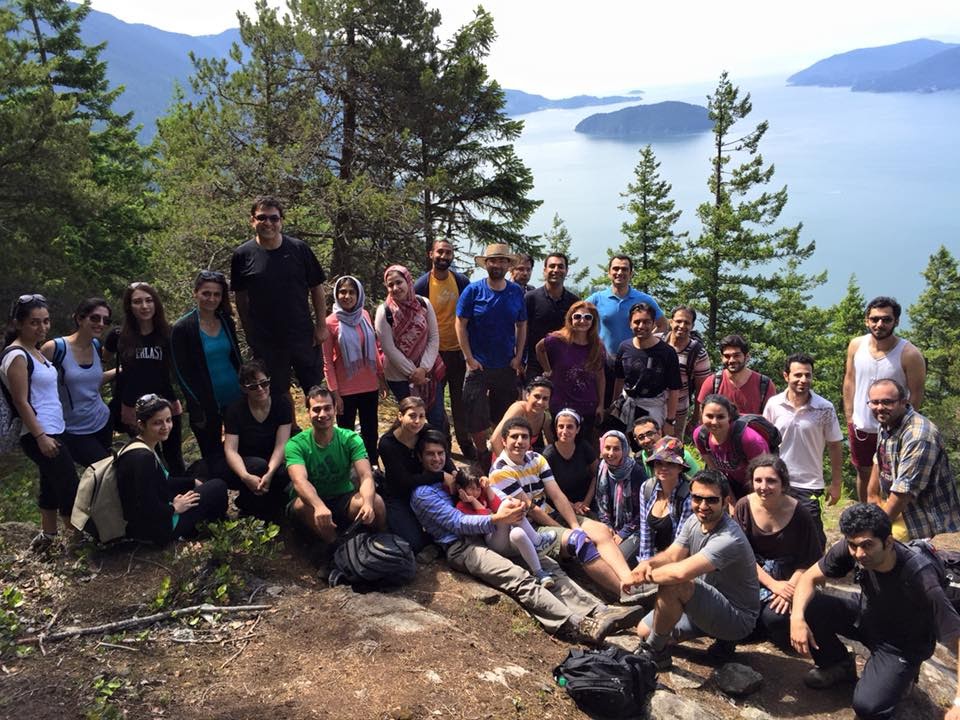
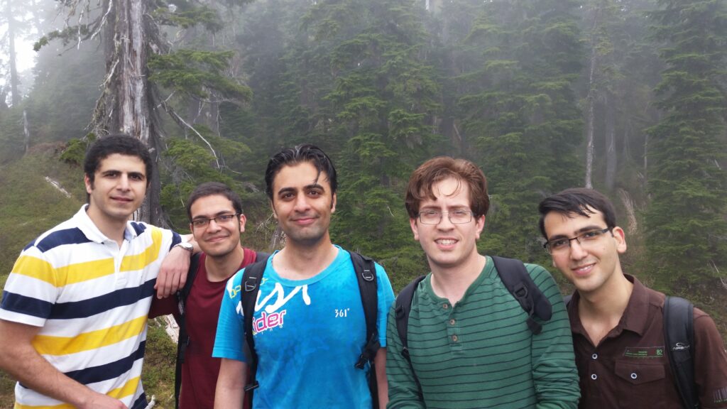
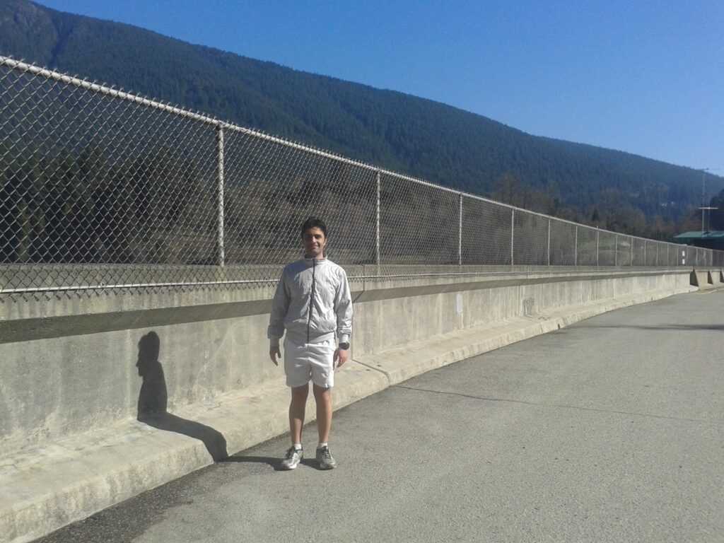
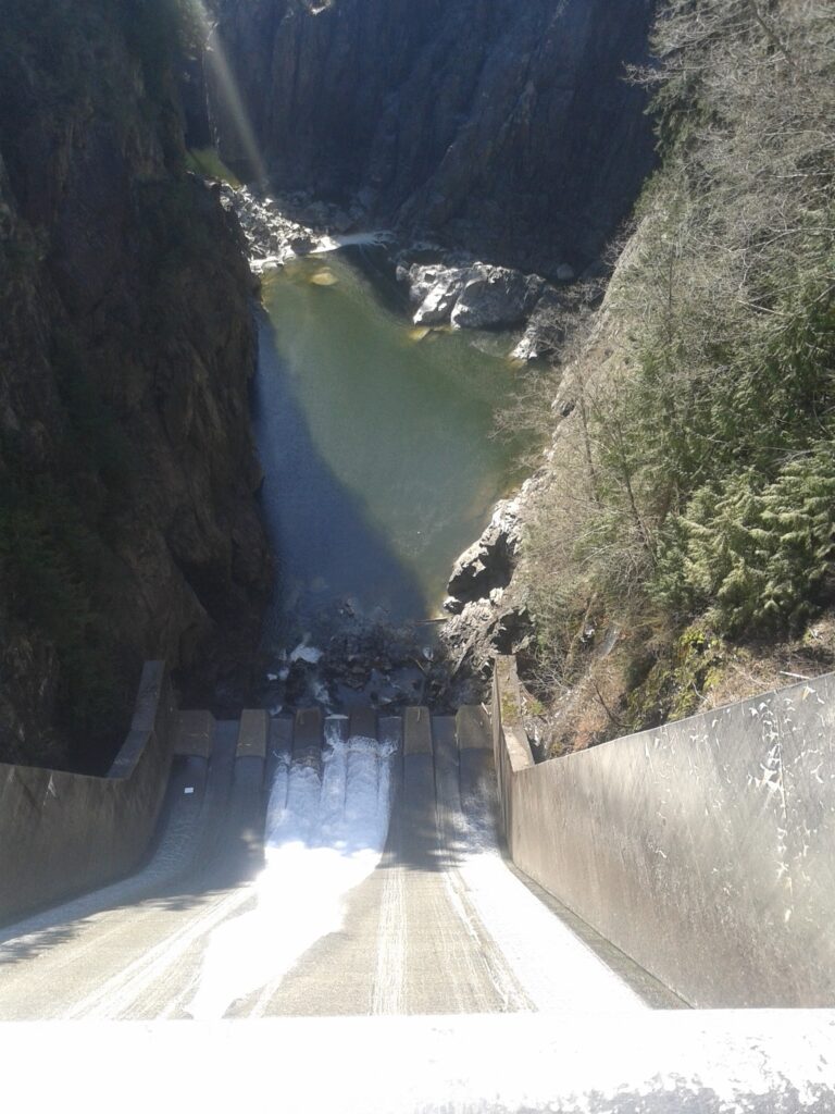
Crown Mountain Hiking
Photo Gallery
My Hike on Map
About Crown Mountain
Region: The North Shore
Distance: 9.8km (round-trip)+6km BCMC (round-trip)
Elevation Gain: 385 meters+ 853 meters BCMC
-
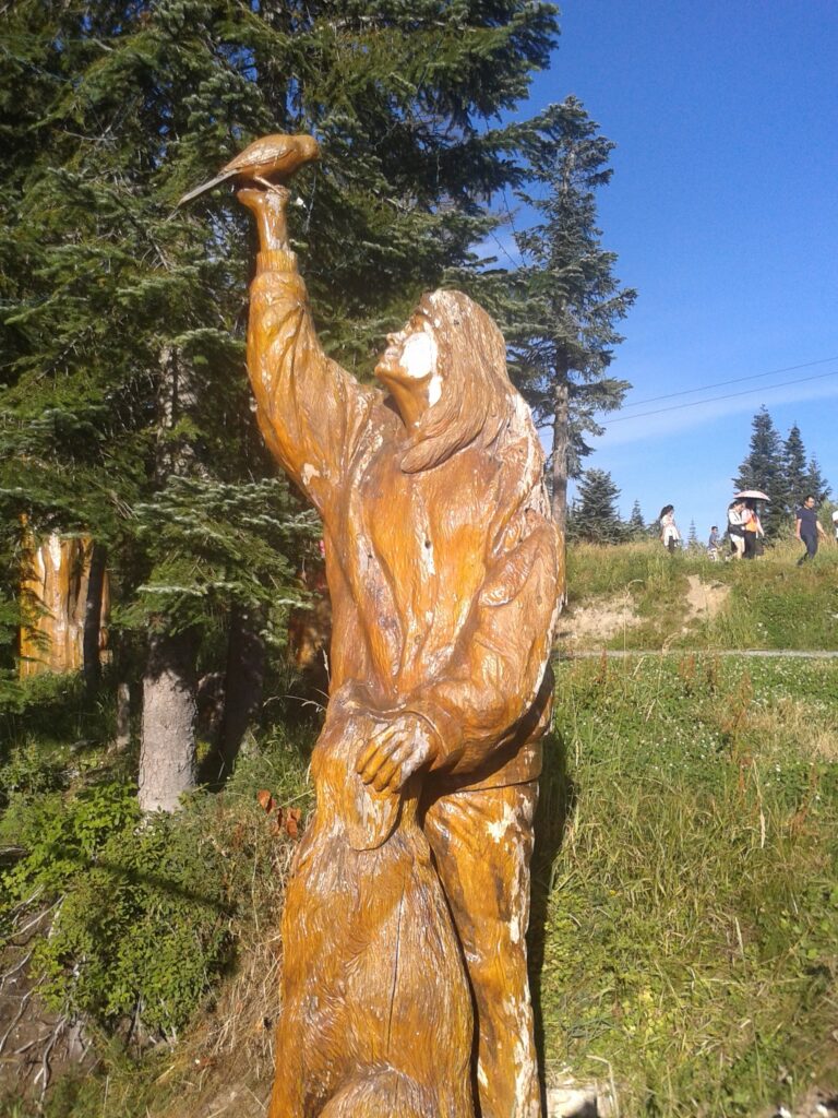
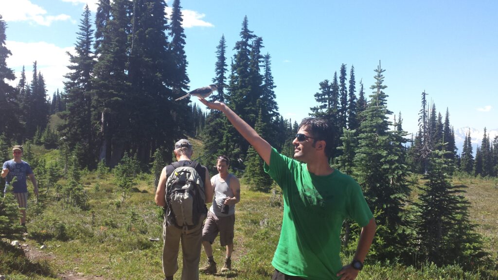
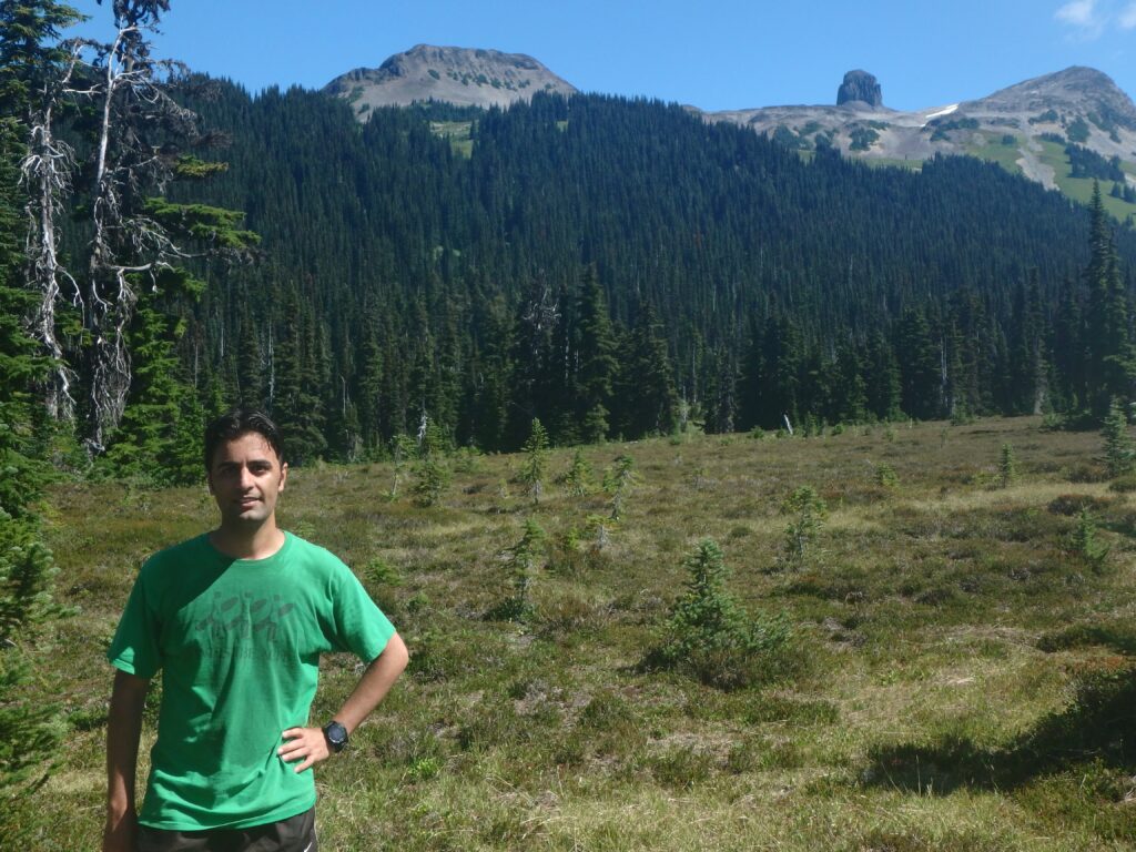
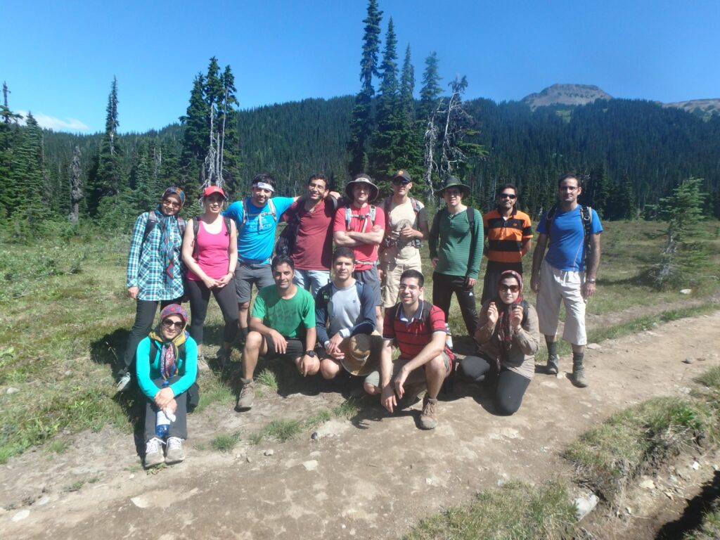
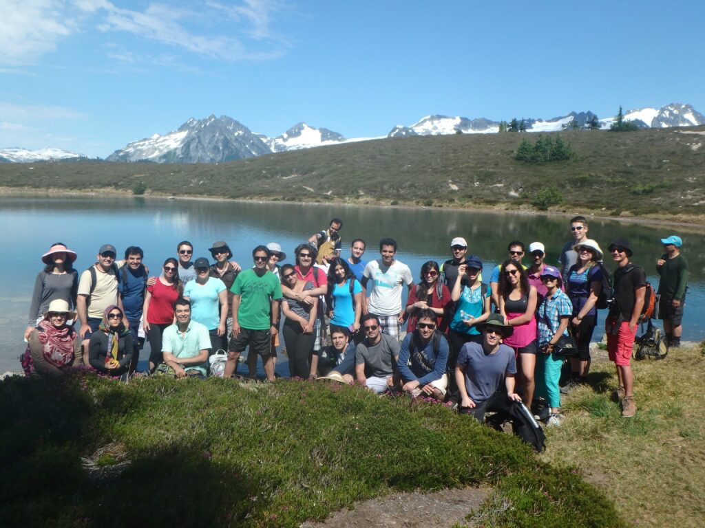
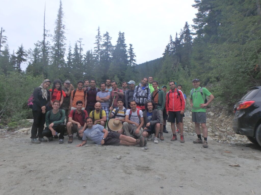
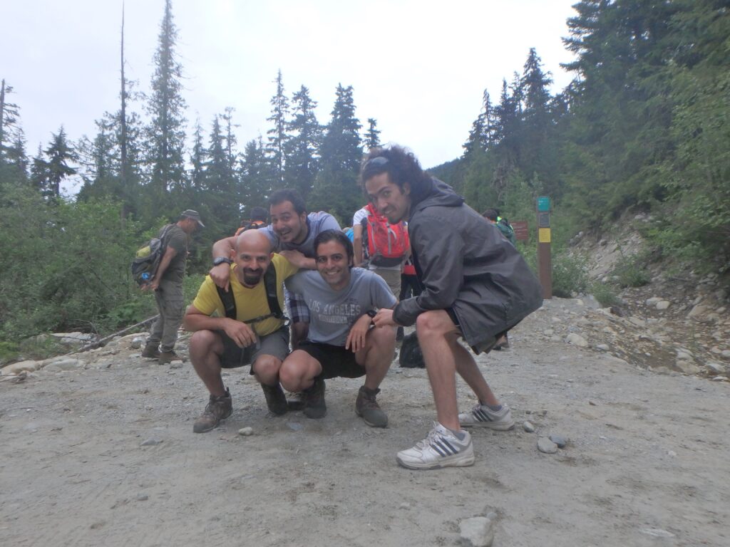
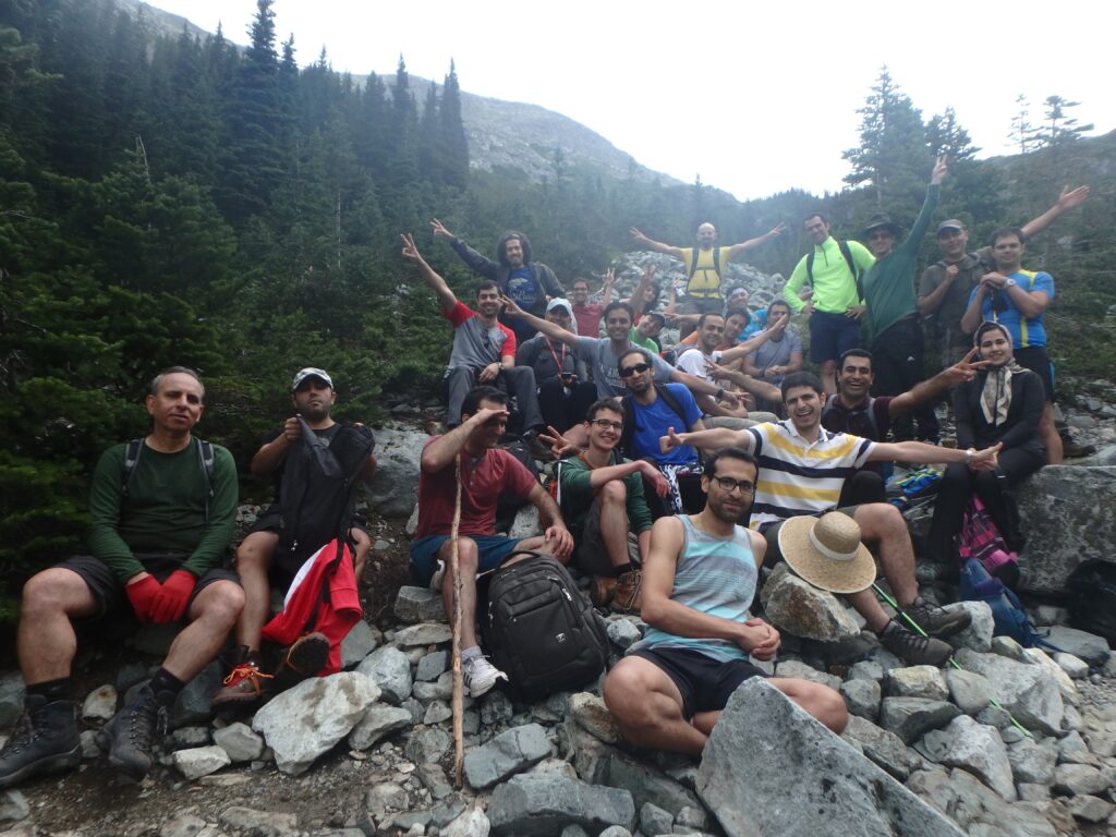
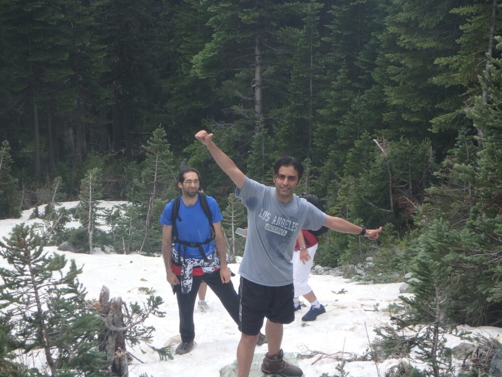
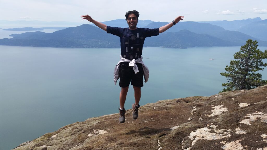
Panorama Ridge Hiking
Photo Gallery
My Hike on Map
About Panorama Ridge
Region: Whistler
Distance: 30km (round-trip)
Elevation Gain: 1520 meters
-
Elfin Lake Hiking
Photo Gallery
My Hike on Map
About Elfin Lake
Region: Howe Sound
Distance: 22km (round-trip)
Elevation Gain: 600 meters
-
Wedgemount Lake Hiking
Photo Gallery
My Hike on Map
About Wedgemount Lake
Region: Whistler
Distance: 14km (round-trip)
Elevation Gain: 1160 meters
-
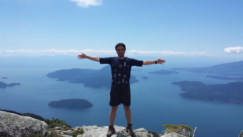
Mount Harvey Hiking
Photo Gallery
My Hike on Map
About Mount Harvey
Region: Lions Bay
Distance: 14 km
Elevation Gain: 1460meters
-
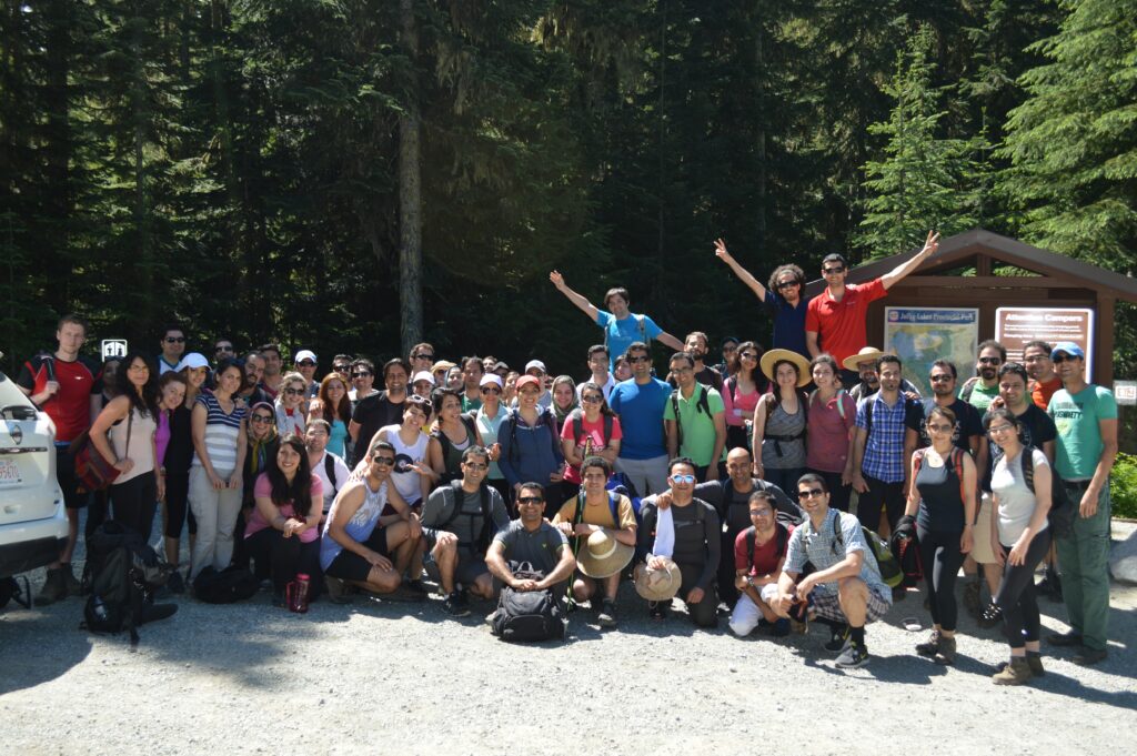
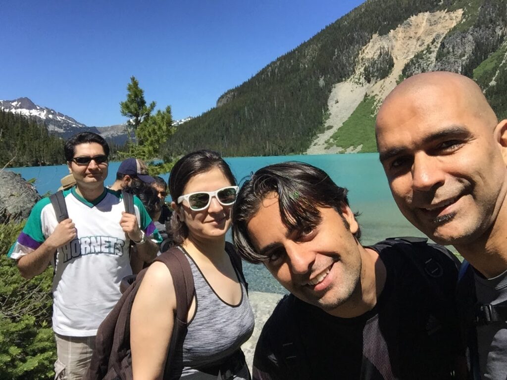
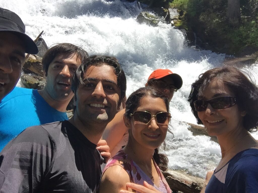
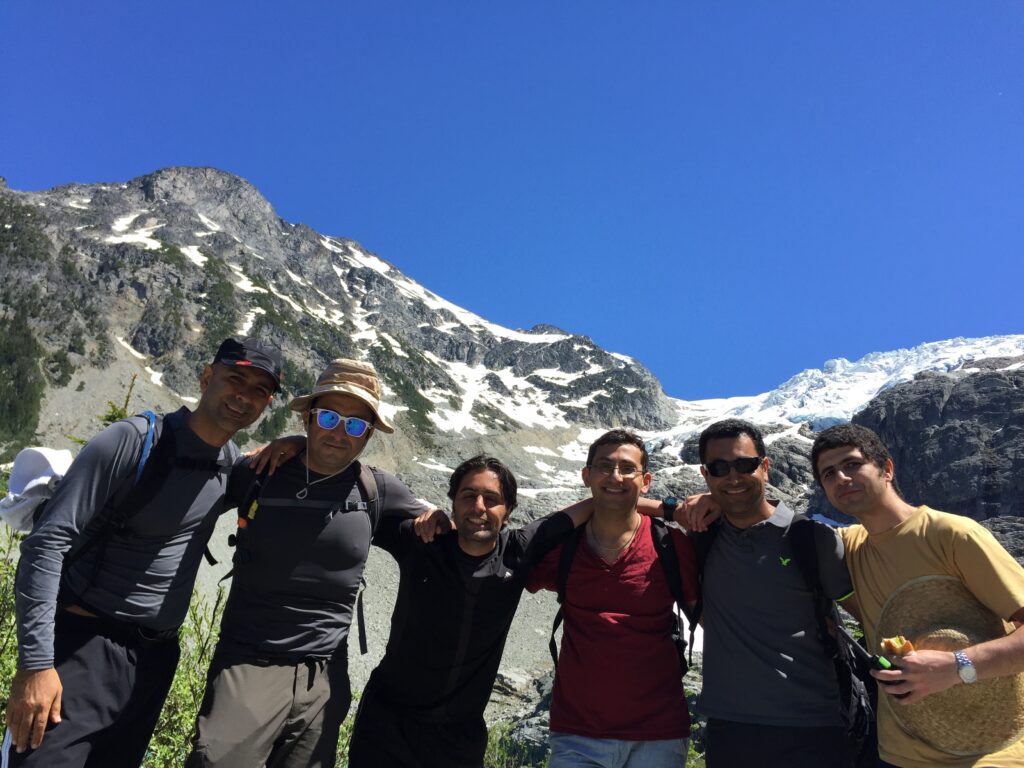
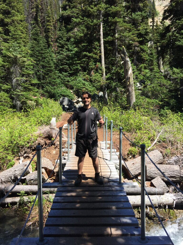
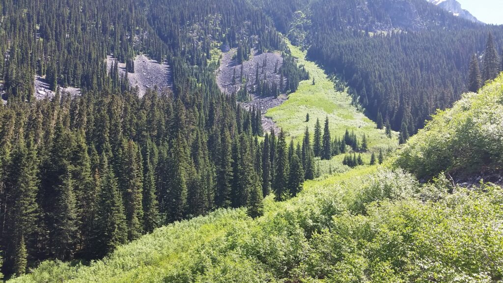
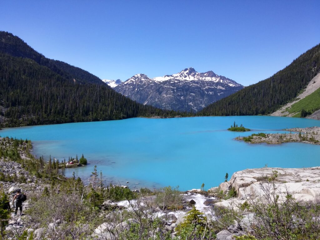
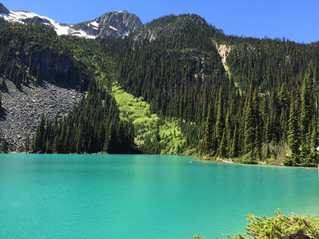
Joffre Lake Hiking
Photo Gallery
My Hike on Map
About Joffre Lake
Region: Pemberton
Distance: 11km (round-trip)
Elevation Gain: 400 meters
-
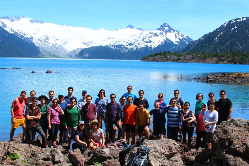
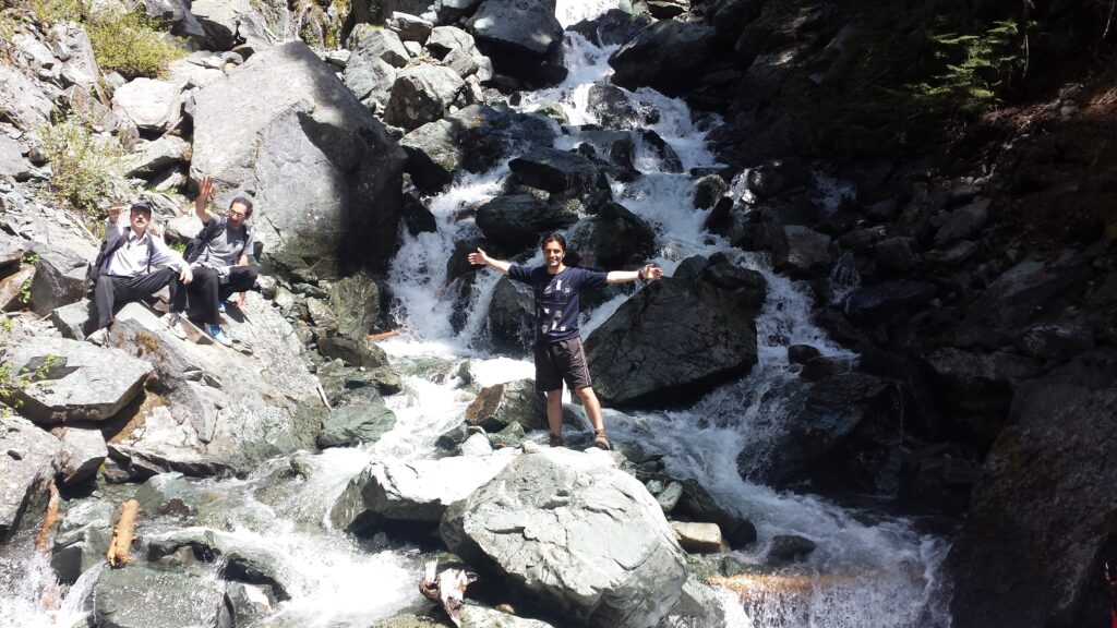
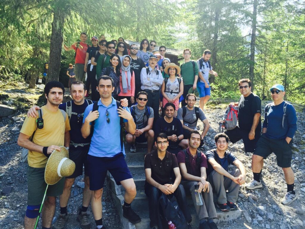
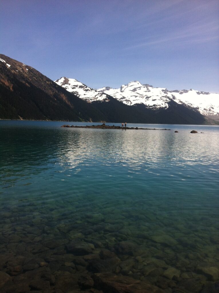
Garibaldi Lake Hiking
Photo Gallery
My Hike on Map
About Garibaldi Lake
Region: Whistler
Distance: 18km (round-trip)
Elevation Gain: 820 meters
-
Tunnel Bluffs Hiking
Photo Gallery
My Hike on Map
About Tunnel Bluffs
Region: The North Shore
Distance: 8km (round-trip)
Elevation Gain: 350 meters
-
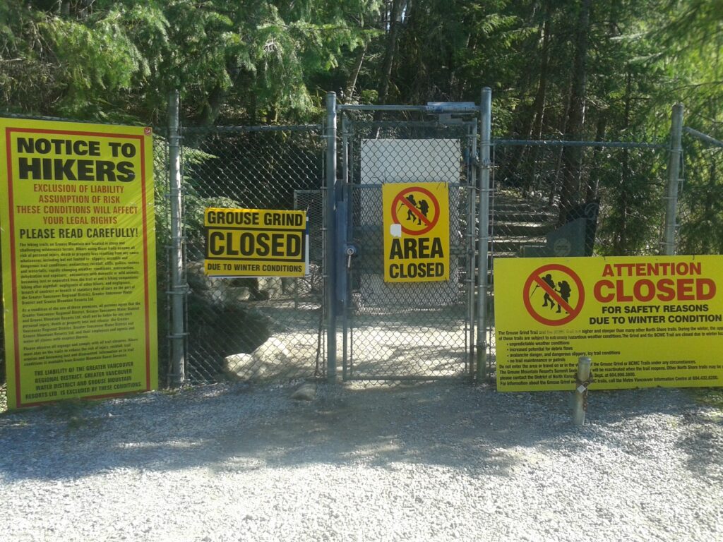
Goat Mountain Hiking
Photo Gallery
My Hike on Map
About Goat Mountain
Region: The North Shore
Distance: 8km (round-trip)+ 6km BCMC (round-trip)
Elevation Gain: 300 meters +853 meters BCMC
-
St. Mark’s Summit Hiking
Photo Gallery
My Hike on Map
About St Mark’s Summit
Region: The North Shore
Distance: 11km (round-trip)
Elevation Gain: 460 meters
-
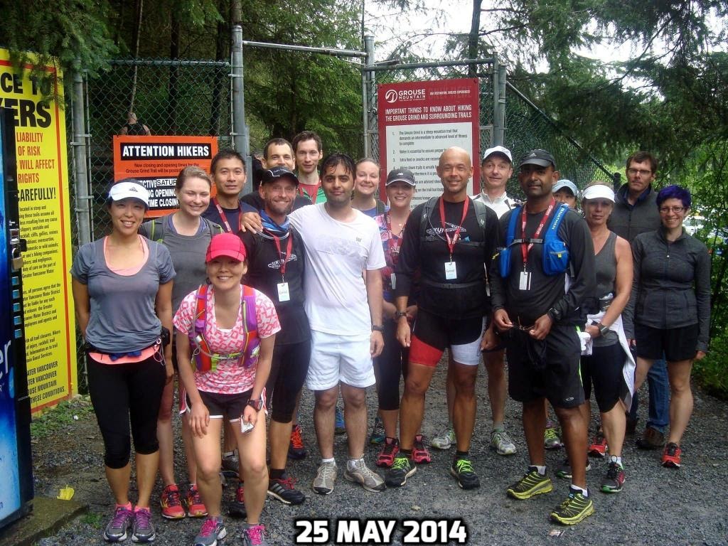
Celebration of Water Day Run
-
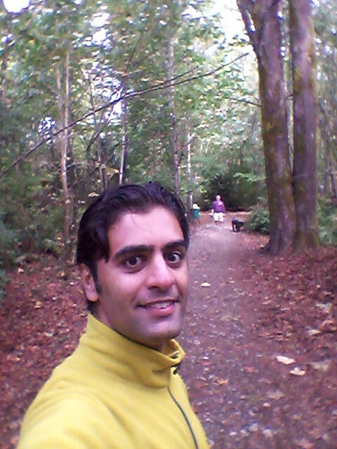
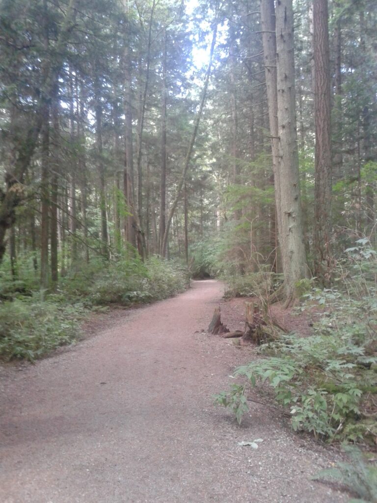
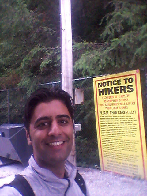
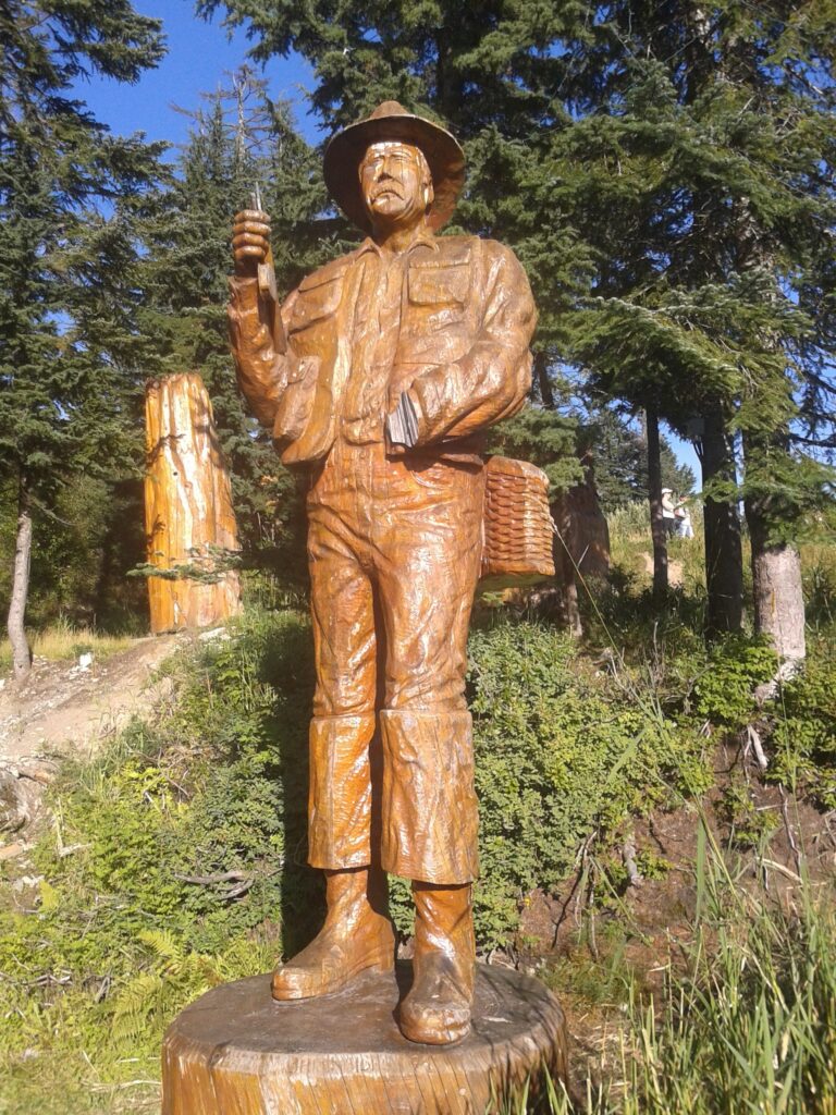
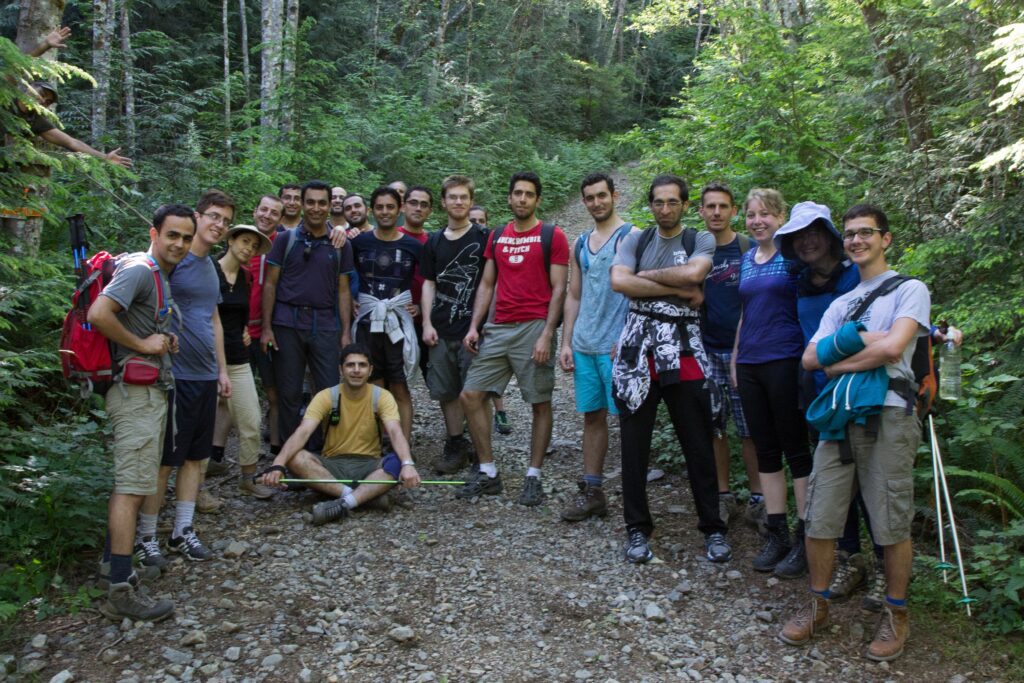
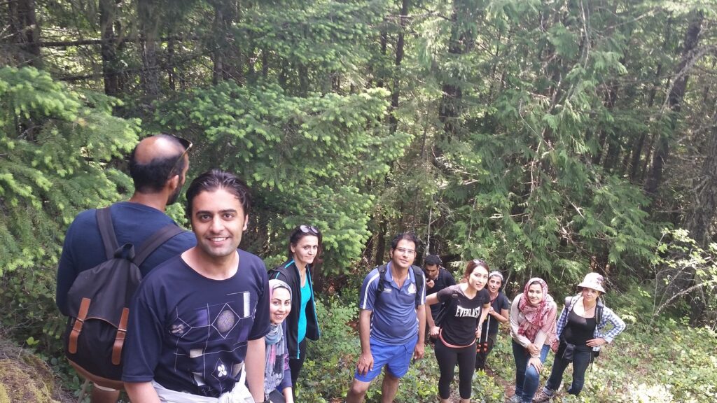
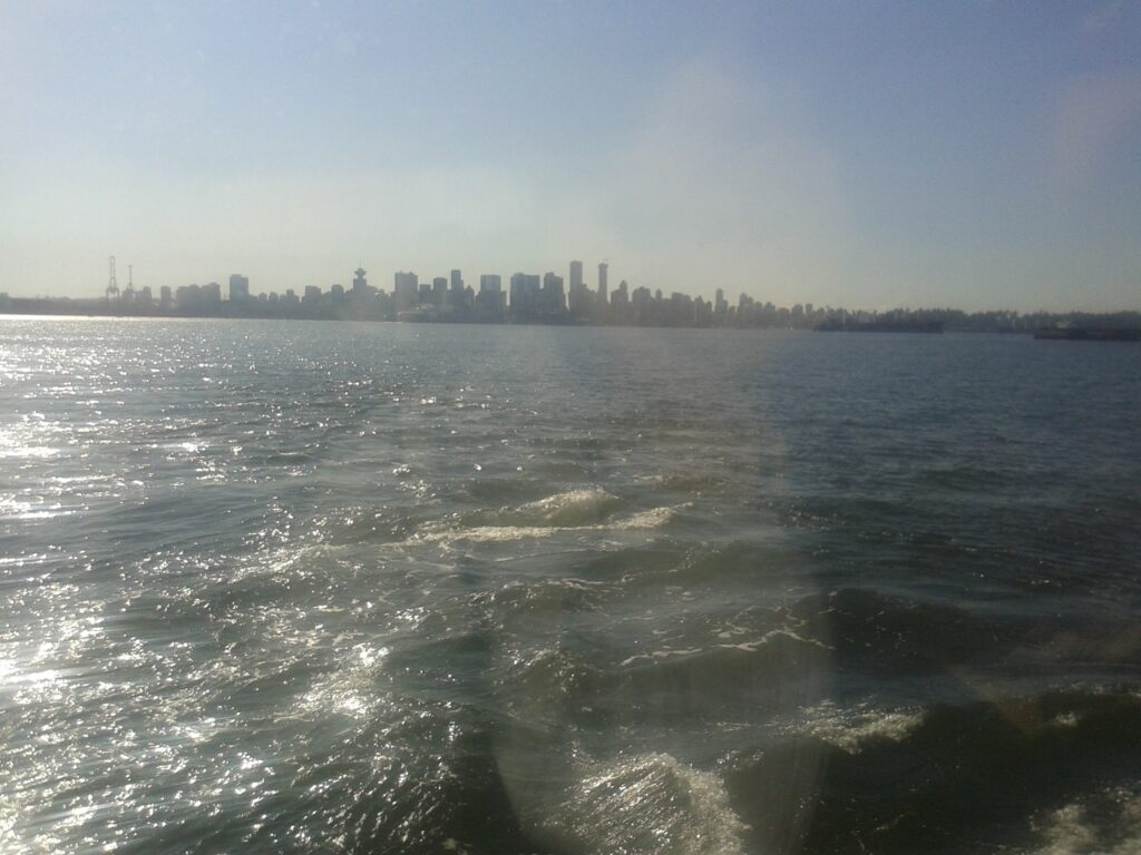
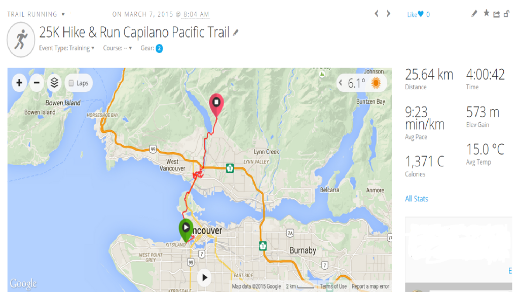
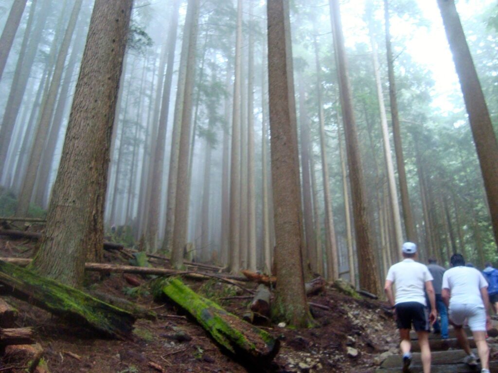
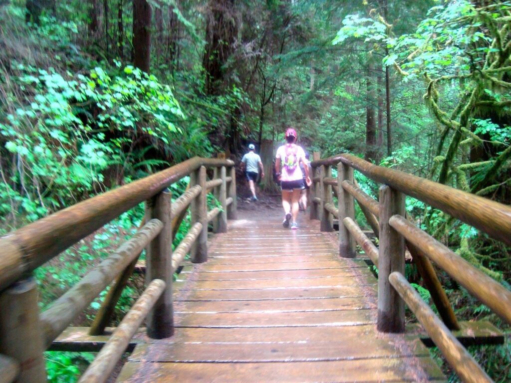
Capilano Pacific Trail
Cross Country Run at Capilano Pacific Trail
Photo Gallery
My Hike on Map
About Capilano Pacific Trail
Region: The North Shore
Distance: 15km (round-trip)
Elevation Gain: 236 meters
-
2014 Training Summary
-
Completing a sub three hours marathon
Before reading this article about how you can prepare yourself for completing a sub three hours marathon, you may ask “why three hours and where does that point come from?”. Well, there are a couple of critical point for marathoners that they are trying to reach those points and they are 4:30,4:00,3:30 and 3:00 hours. Among those times, completing a sub three hours Marathon is specially important for marathoners because it would qualify them for Boston marathon which is dream of every marathoner. Actually to be very exact at this point, being qualified for Boston marathon depend on your age and gender, and for young men runners (under age 30) qualifying time for Boston marathon is 3:05 hours.

There are different training schedules for marathon, but most of them consist of about 18 weeks of training and in this period you would run over 1100km. After completing each marathon, you need at least two weeks of rest before start training for your next marathon in order to improve your previous record. In case you want to start training for your next marathon immediately after your previous training, you may neglect the first five weeks of your schedule which doesn’t include SOS workouts and jump into the sixth week, but in any case in order to complete the rest of your schedule, you again need to train at least 13 weeks/+1000km in order to get your goal.
Now back to our initial question “how long would it take to complete a sub three hours marathon and be qualified for Boston marathon”, the math is very simple now. Usually to have a sub 3:30 marathon, you need at least two training sets while any attempt to complete your first marathon before 3:30 hours is pretty aggressive and chances of getting injured is so high, where in that case you would not even able to complete the marathon.
After completing a sub 3:30 marathon, by each set of training, you would able to improve your previous record by usually 3% ,let’s say 7 minutes (theoretically you can improve up to 5%, but again it’s not recommended and continuing that way you would high likely get injured in a close future) Therefore in order to improve your record from 3:30 hours to 3:00 hours you need 4 sets of marathon training and therefore you need at least six sets of training in order to be able to complete a sub three hours marathon from the point that you started. As we discussed in past each training set requires at least 1000 km of running so you need to run at least for 6000 km in order to complete a sub three hours marathon and being qualified for Boston marathon which is dream of every marathoners.
-
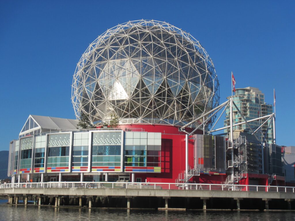
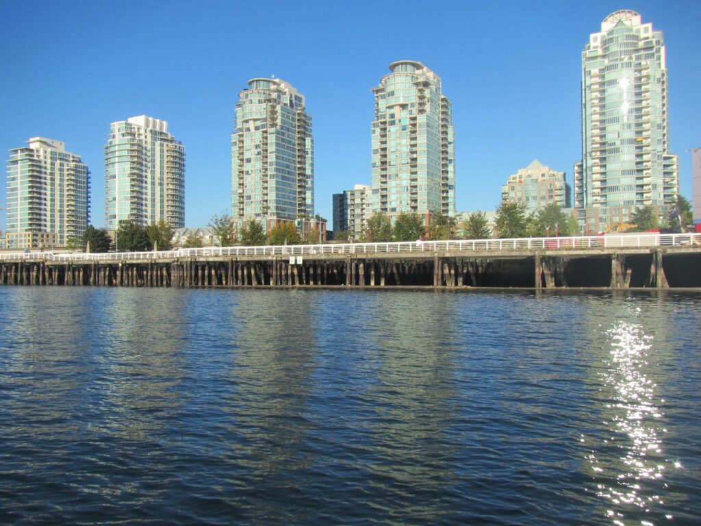
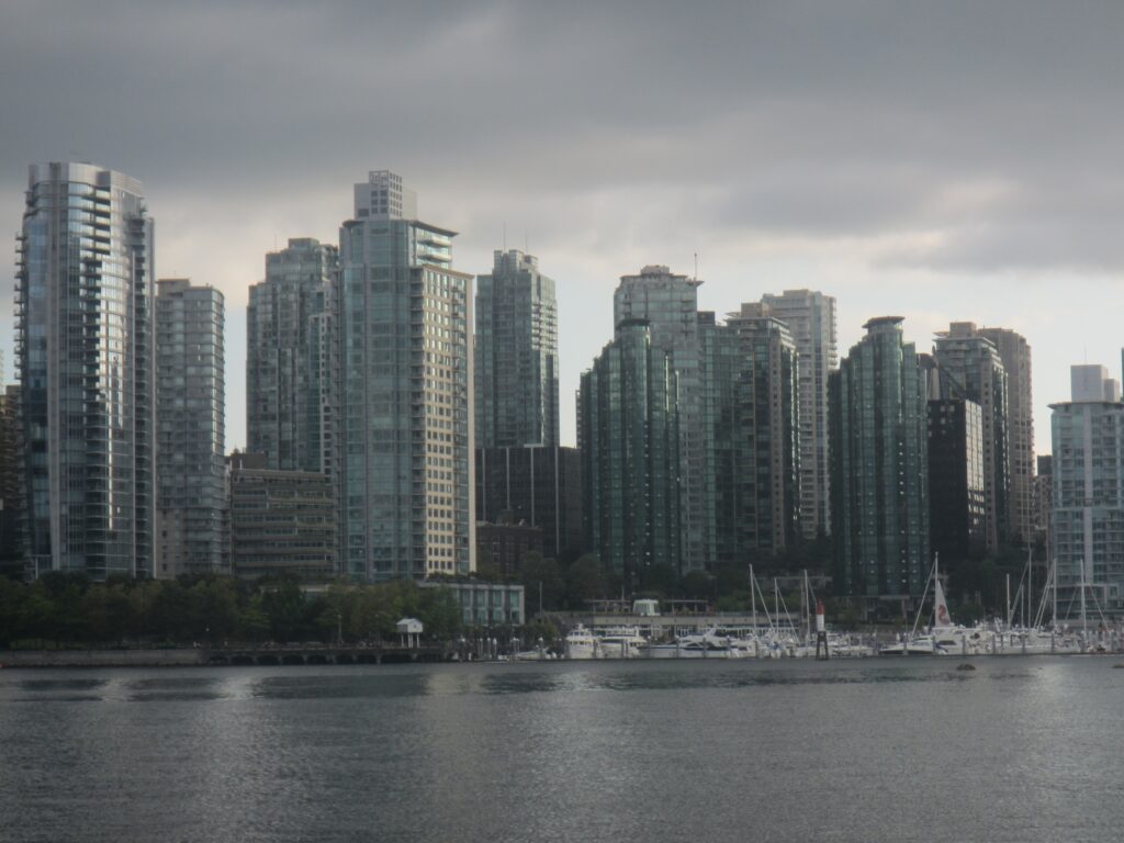
Vancouver Paddle Boarding False Creek
-
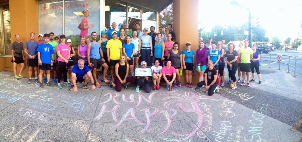
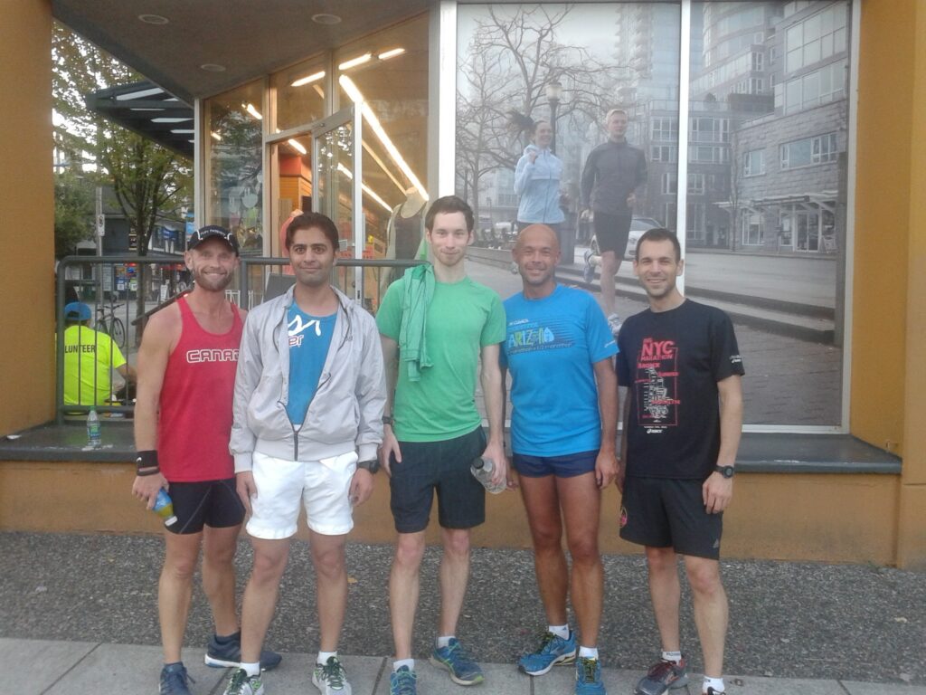
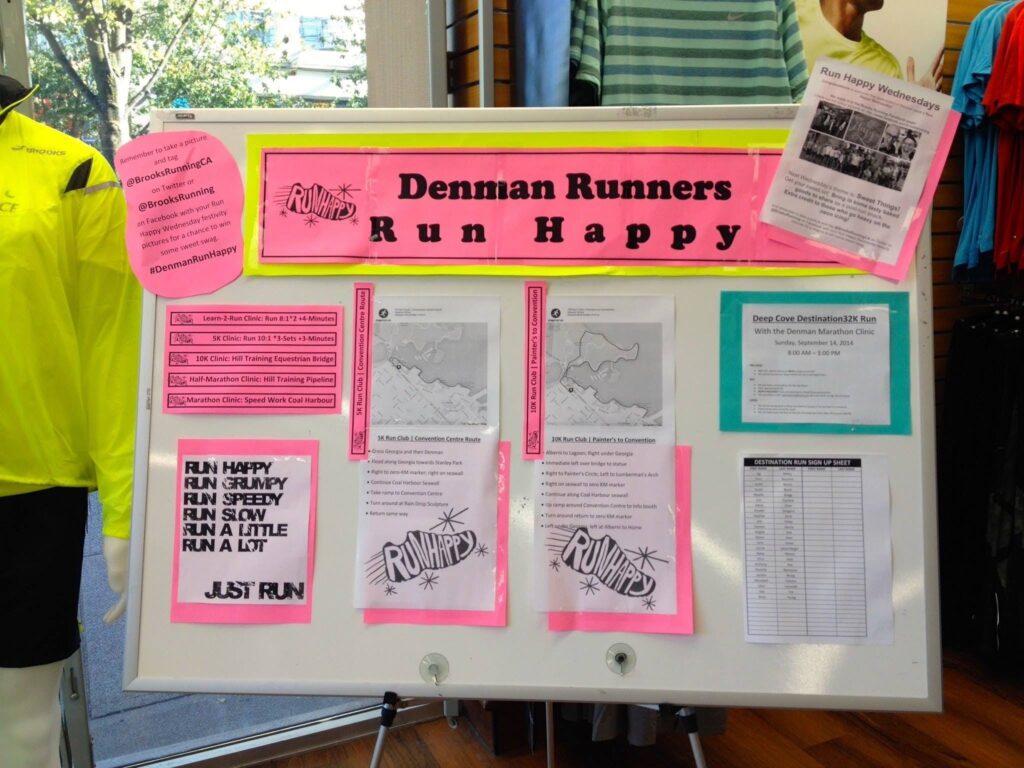
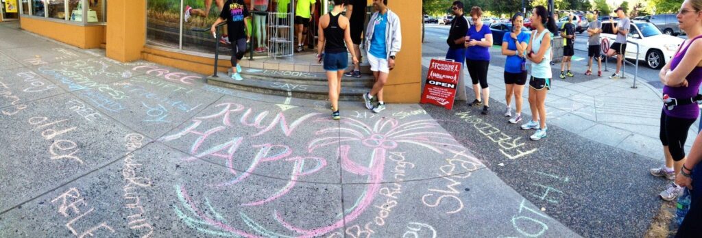
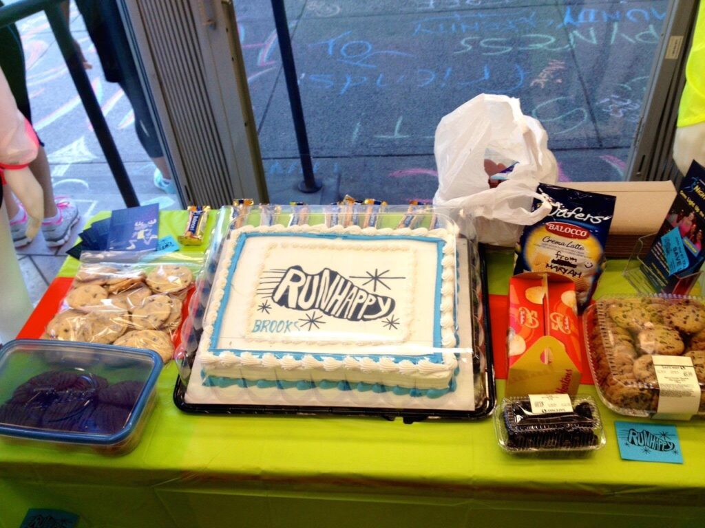
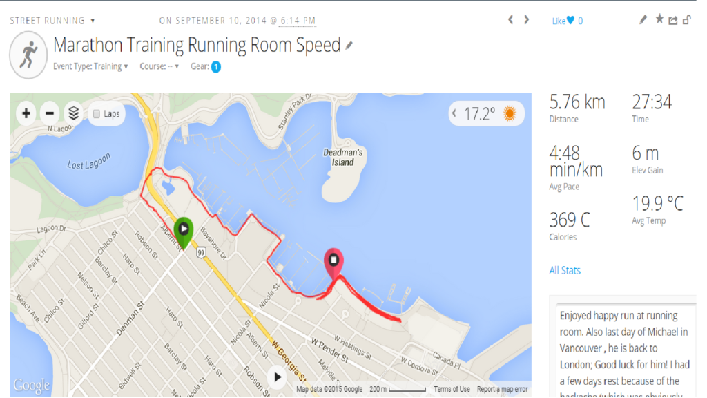
Run Happy
-
Hills Training 10×400
-
Hills Training 10×400
-
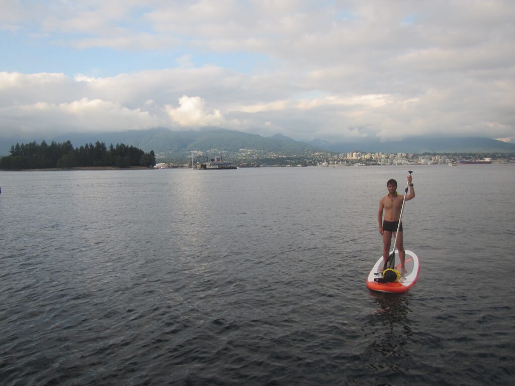
How much am I worth? 🙂
I was paddle boarding right in front of Coal Harbour (maybe the most expensive neighbourhood of Vancouver) where I suddenly got creative (at 0:50) and had a comment about my real value, watch it out 🙂

-
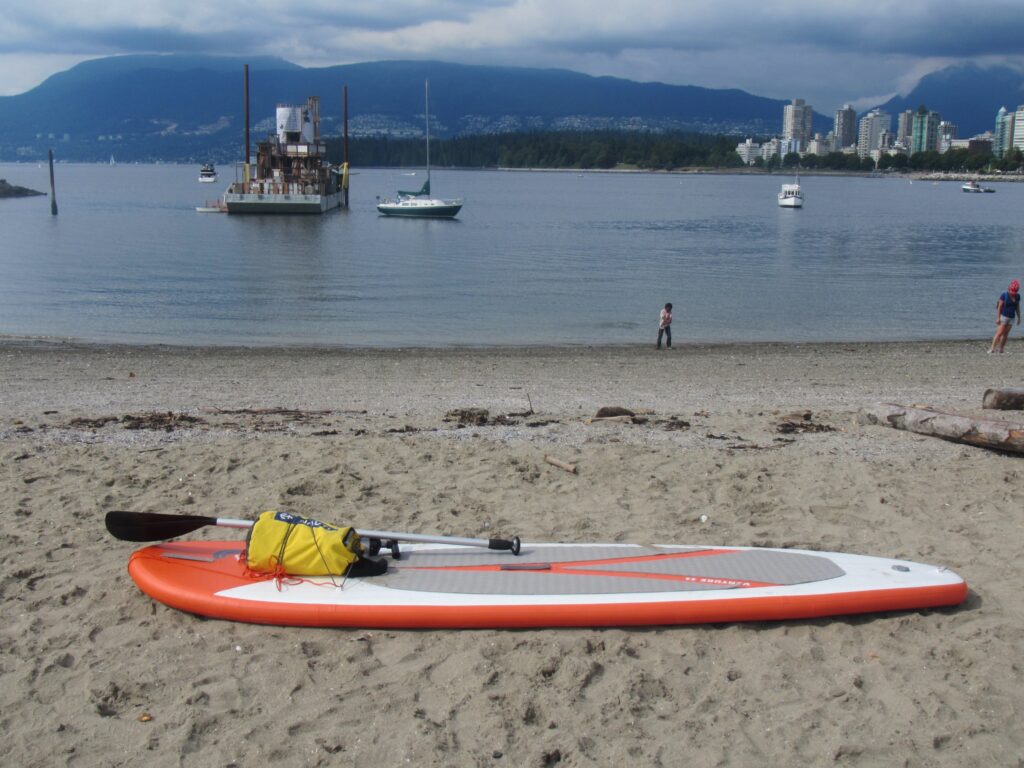
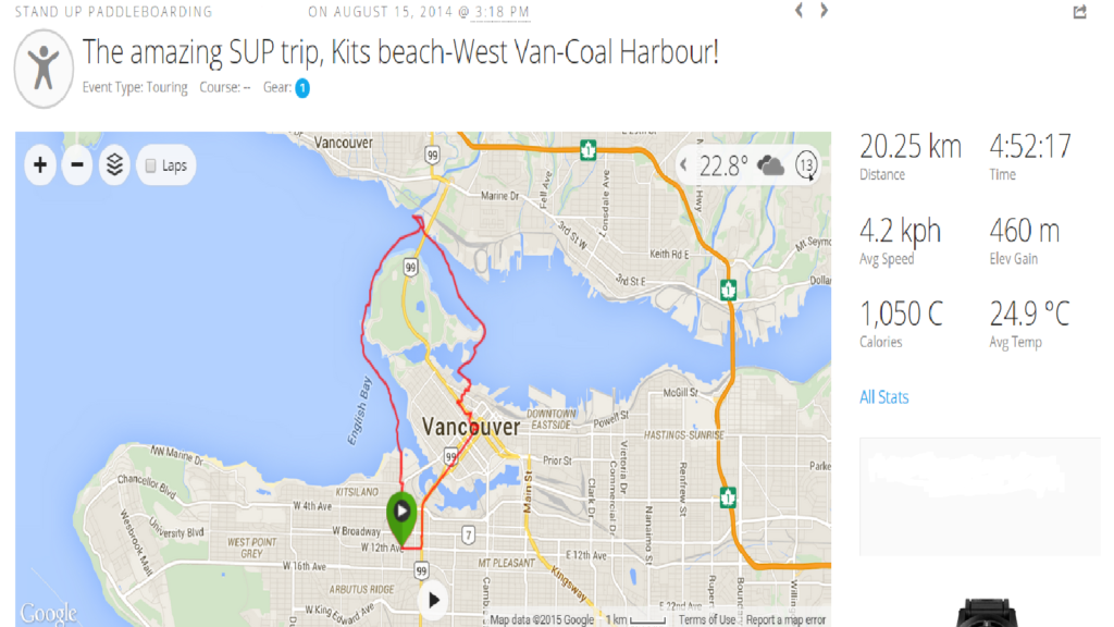
The Amazing SUP Trip
The Amazing SUP Trip, Kits Beach-West Van-Coal Harbour
Photo Gallery
My Paddle Boarding on Map
-
Paddle Boarding Kitsilano
-
Paddle Boarding Vancouver Fireworks
-
Paddle Boarding Fireworks
-
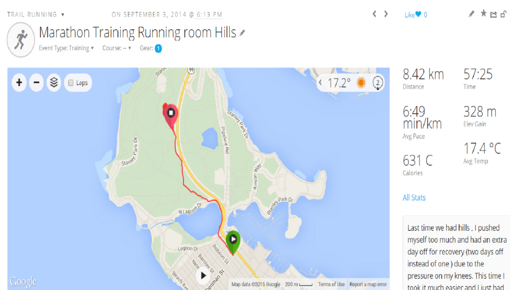
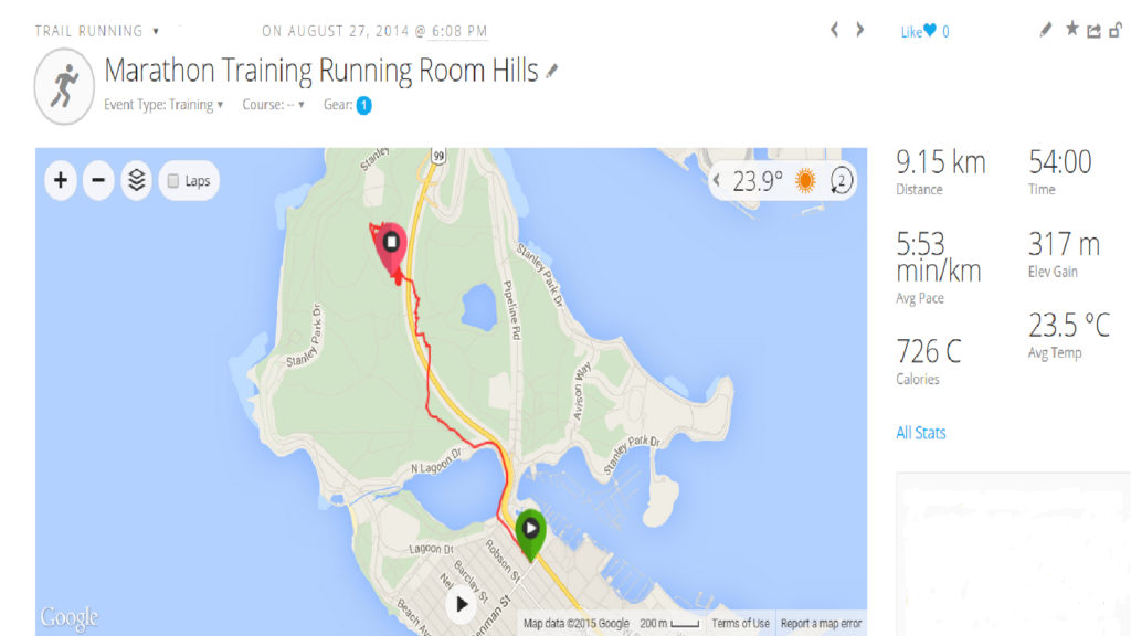
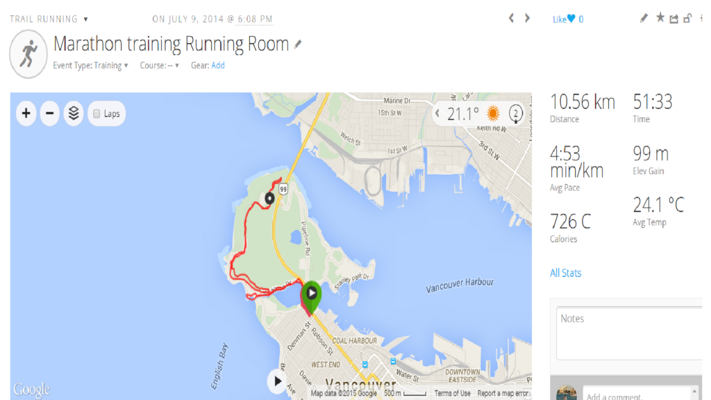
Marathon Training
-
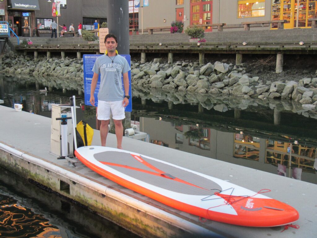
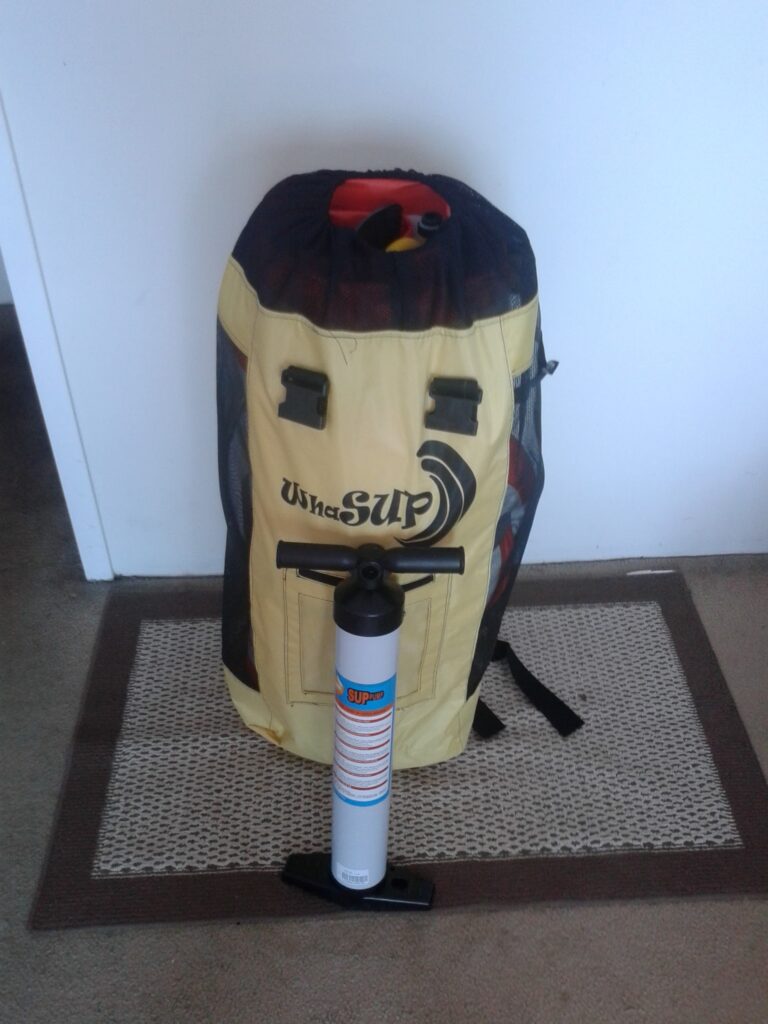
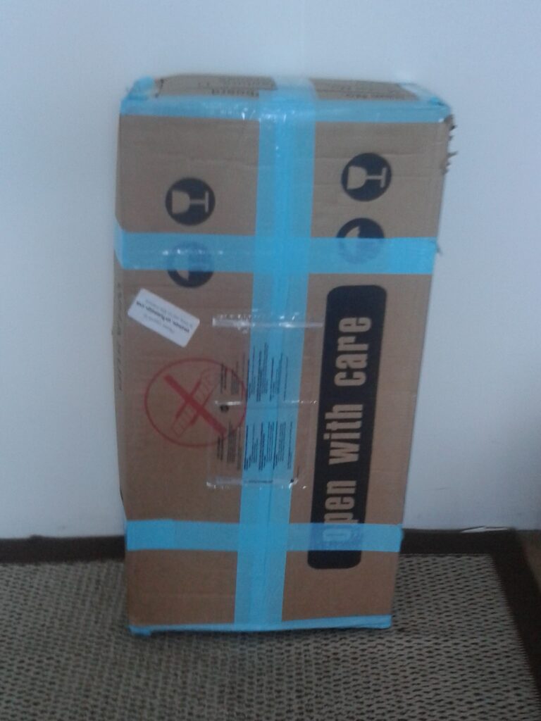
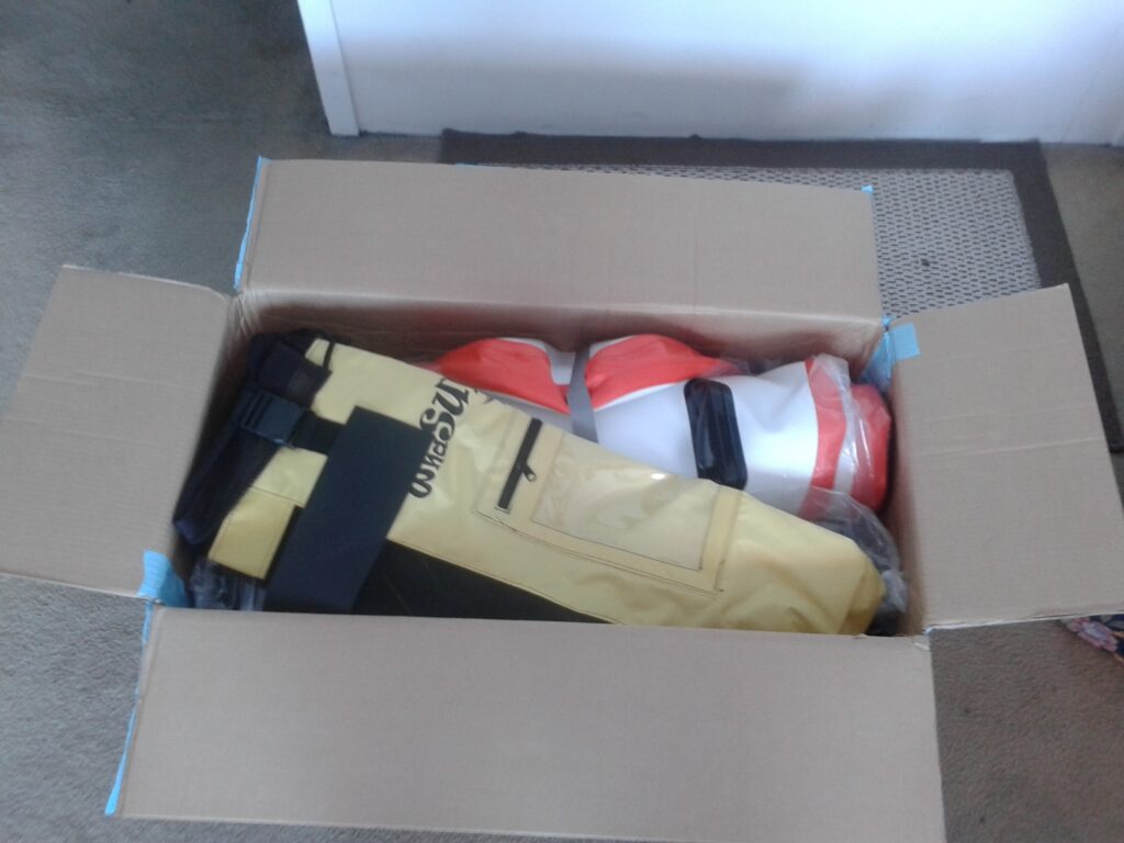
My Lovely PaddleBoard
-
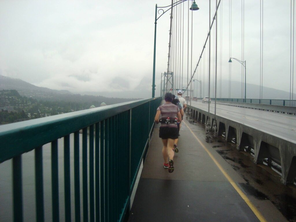
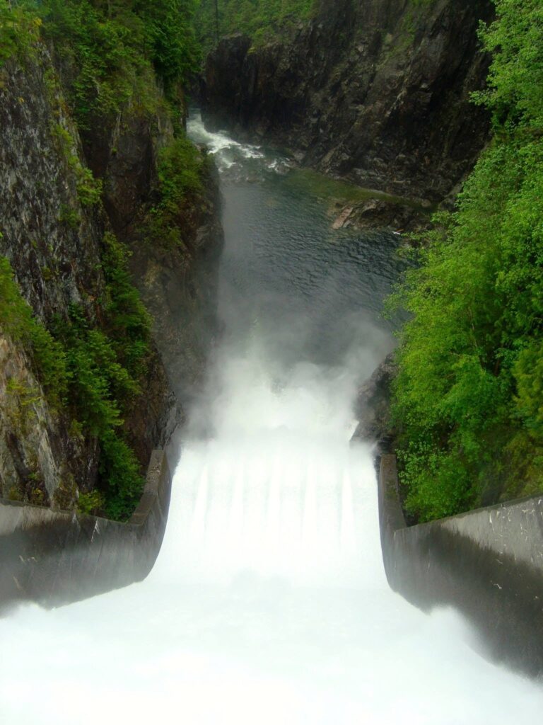
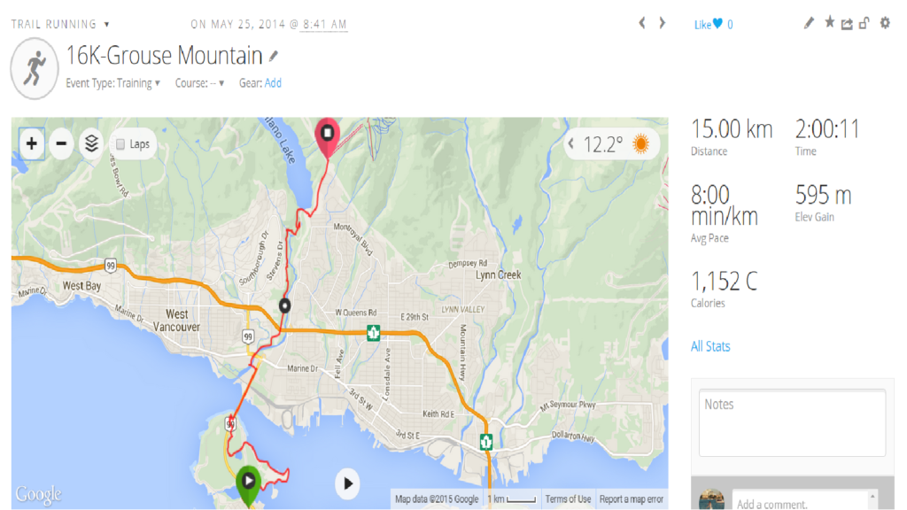
Capilano Pacific Trail-Grouse Mountain
-
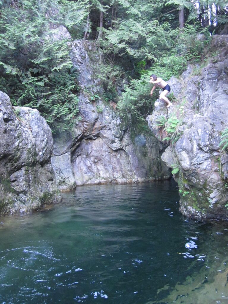
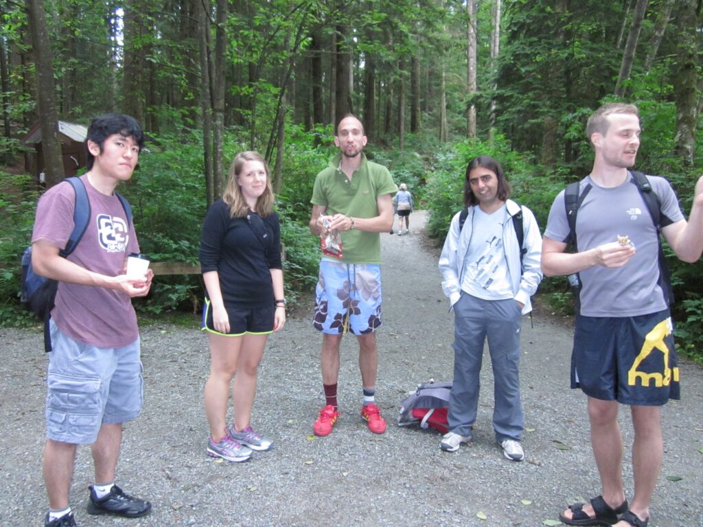
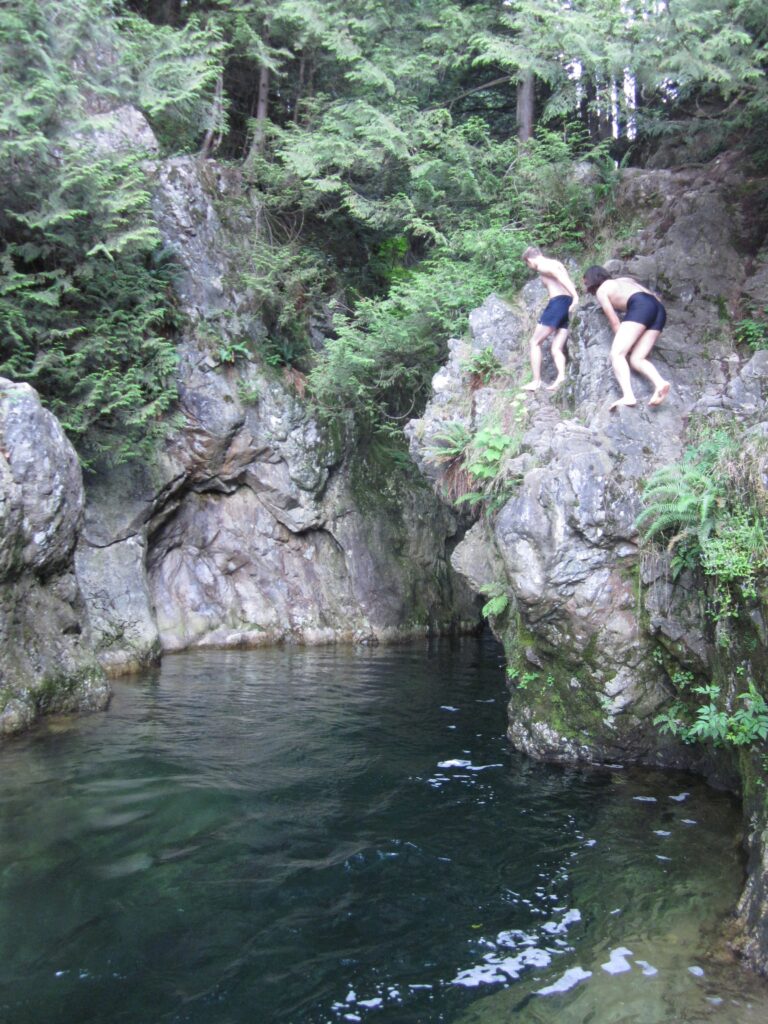
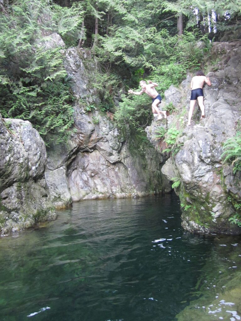
Lynn Canyon Cliff Jumping
Lynn Canyon Cliff Jumping
Photo Gallery